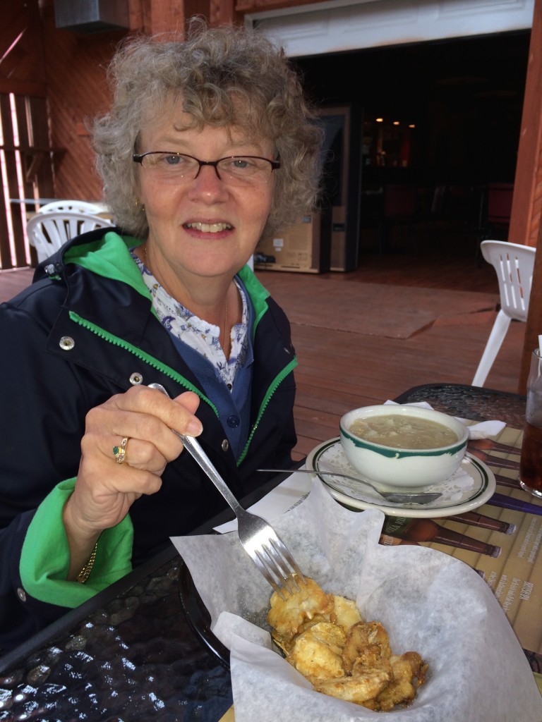
Tuesday dawned to more rain and gloom. The forecast suggested that the rain might stop intermittently but not until the afternoon so we were not in a hurry to pack up and head out of our Holiday Inn Express in Deer Lake, NL. We finally did head out however and after about a 30 minute drive arrived at the gates of the Gros Morne Park where the inside of the Acura’s driver’s door was well soaked during a 20 second conversation with the woman in the park’s gate house. Another 20 minutes got us deep into the park where we veered south for the part of the park with the “Tablelands” and “Lookout” trails, two options for those who were reluctant to consider a 5-hour hike on a rainy day. Still not feeling much enthusiasm, we figured we’d scout things out by driving through the park area and into the coastal fishing village of Trout River and maybe think about lunch. When we arrived we found the Seaside Restaurant, which Janet had scouted out and determined to be a decent spot for lunch.
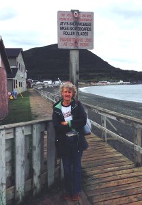
The boardwalk in Trout River, NL
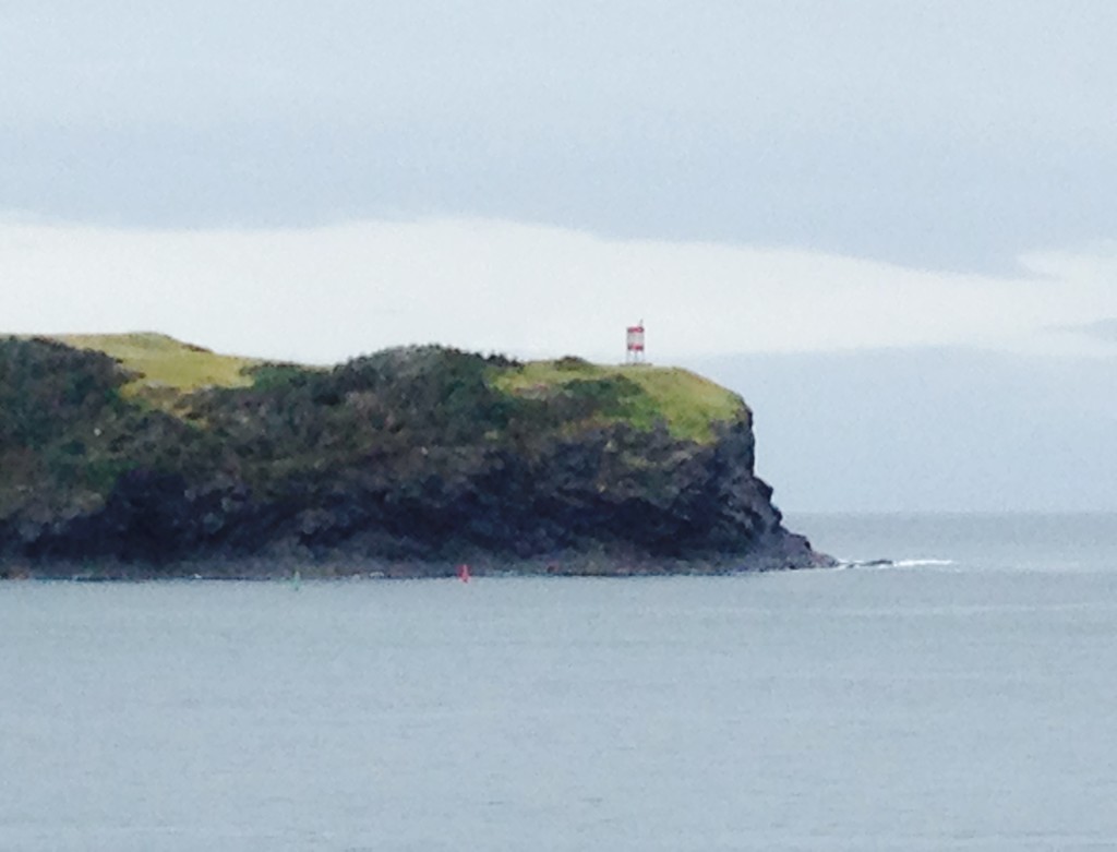
We were seated at a window with a good view out the bay, there to look upon the rain and gloom. However, much to our surprise, the view got better and better. The gloom lessened and eventually the sun made an appearance.
The View from the restaurant window at our
seaside lunch as the weather clears
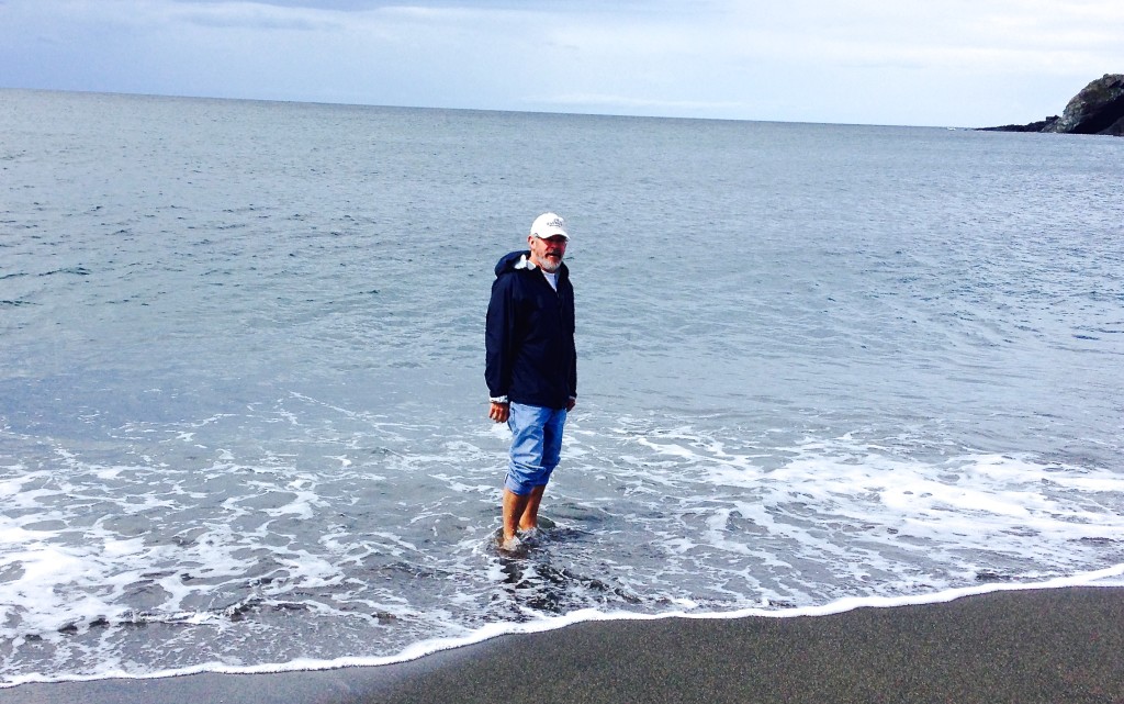
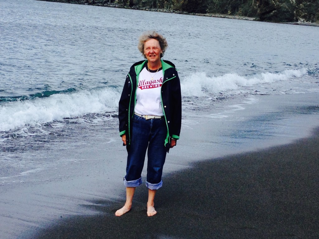
Yes, we went into the cold North Atlantic, sort of
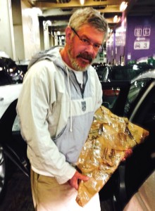
Heading out of town we saw a hand written sign offering salt-cod at a fishing shed. Going in and enquiring if the cod would be OK through the week+ remaining on our trip the fisherman assured me that it would be just fine for 2 years at least! After wrapping it in cardboard of questionable cleanliness and a good discussion on the state of the cod fisheries we were on our way.
Holding the salt cod purchased in Trout River (picture taken on the ferry the next day)
Below is what this looked like before wrapping (from http://en.wikipedia.org/wiki/Dried_and_salted_cod where you can learn more than you ever wanted to know about salt cod. Some of you may see this again some day in a bowl, so pay attention!)
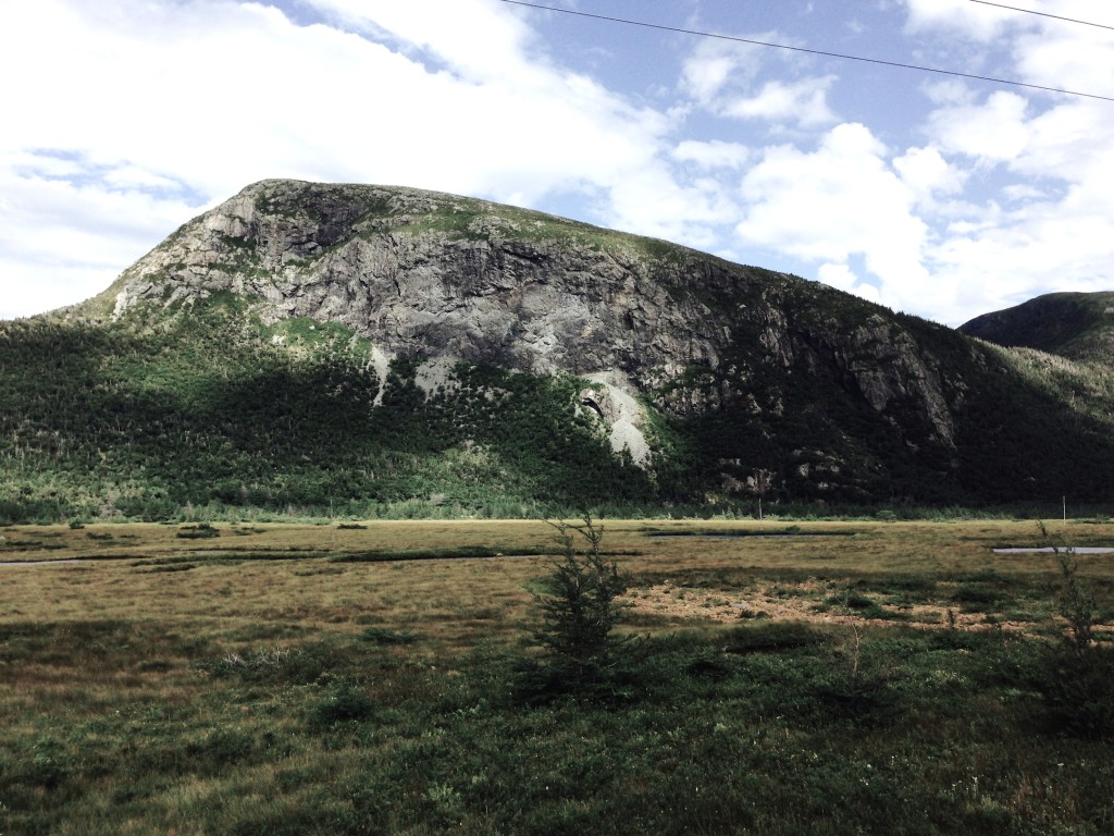
Driving to our first hike the contrast was stark between the hills on our left (above) and the Tablelands to our right (below).
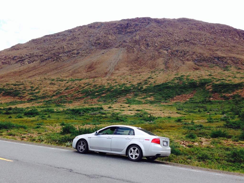
The Tablelands hike was a walk of about 4 km out and back. These hills were formed by the Atlantic plate moving east from the mid-Atlantic rift and squeezing the ocean floor up above sea level. They call it mantle-rock as it is deep rock without sedimentation. The rock has a small iron content giving it a slightly orange coloration.
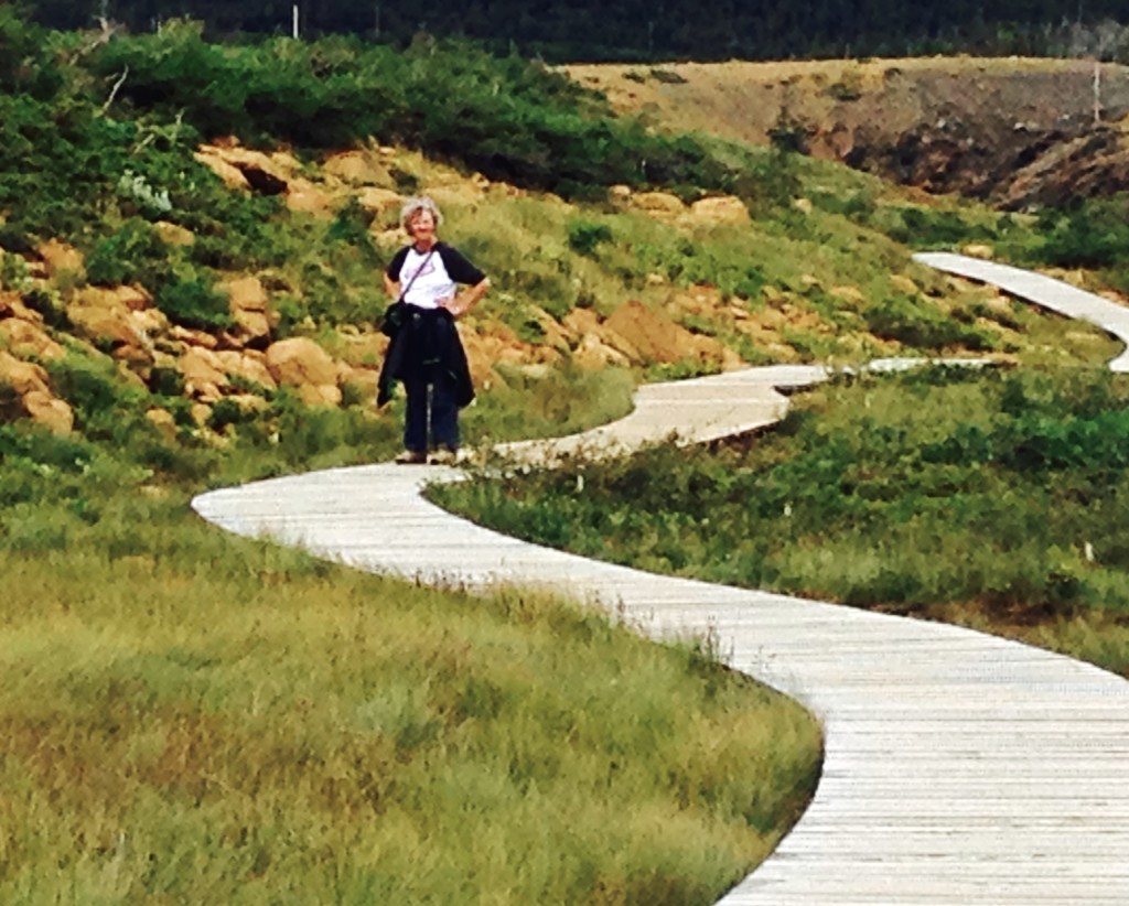
Walking into the Tablelands
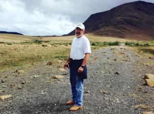
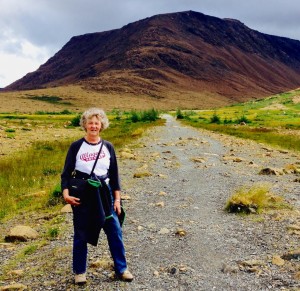
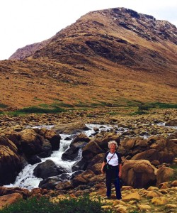
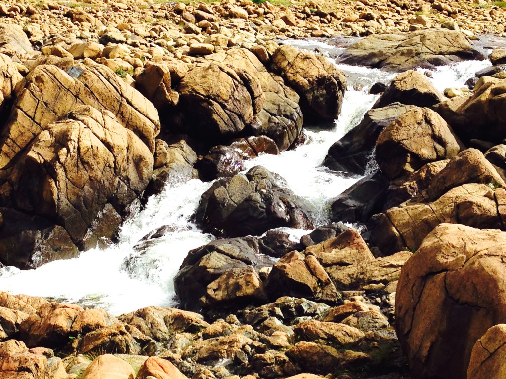

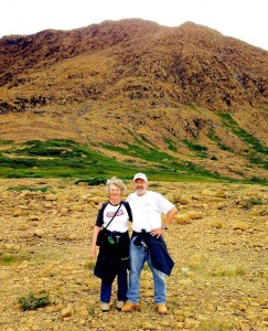
Janet wanted Cyrus and Nate to see this picture of us standing on the ocean floor


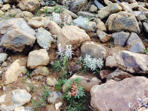


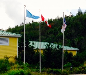
Our weather-luck still looking good, we dove a couple miles to the “Discovery Centre” which was the trailhead for the Lookout Trail. The UN flag here reflects the status of the park as a UNESCO World Heritage Site. The hike was a steep climb from perhaps 150 up to about 1200 feet above sea level. The return distance was 5 km.
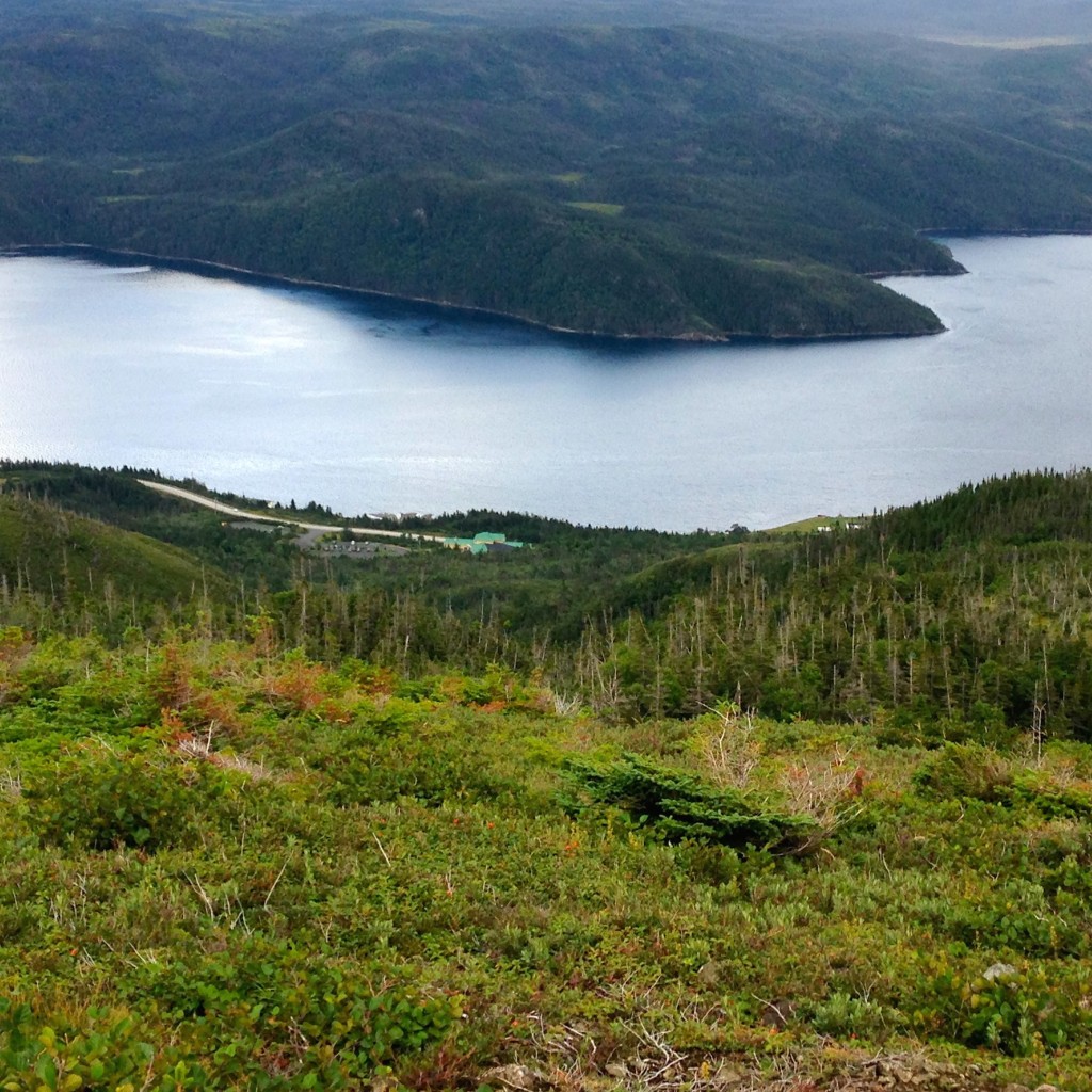
We were truly delighted to arrive at the top, mainly because we hadn’t died walking up that steep of a hill as quickly as we did. Below we look down toward the Discovery Centre and the start-point for our climb.
Another direction…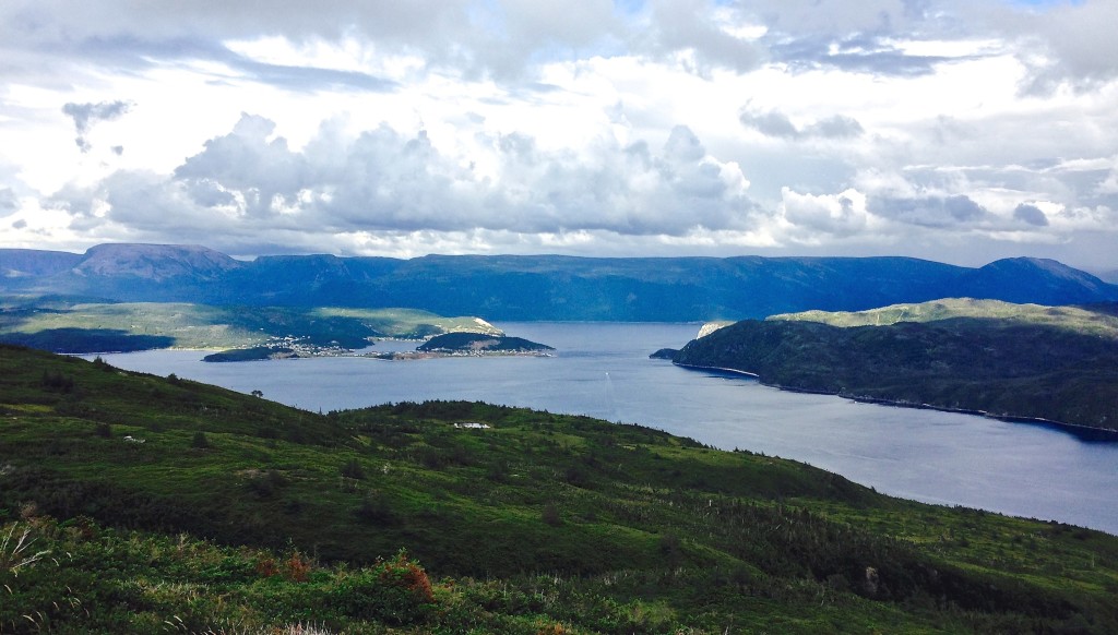
Back toward the Tablelands and our earlier hiking trail…
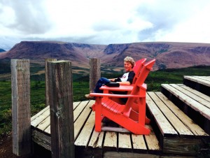
As we rested at the look-out we faced east where we watched the rain coming back…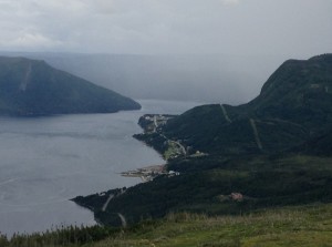
Time to head back down the trail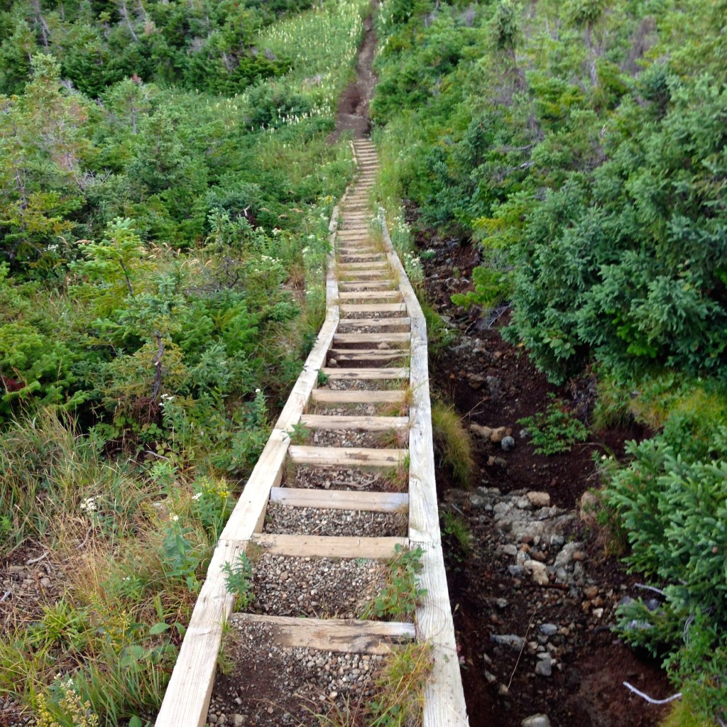
The walk down was considerably easier than the walk up, even though we had some fairly heavy rain for the first half of our descent. The Discovery Centre was closed by the time we got back to the bottom so we changed out of wet jeans in the car, then headed for our B&B in St. George, NL, within easy striking distance to the Port Aux Basque ferry back to the mainland.
Trails: http://www.pc.gc.ca/eng/pn-np/nl/grosmorne/activ/randonnee-hiking.aspx.
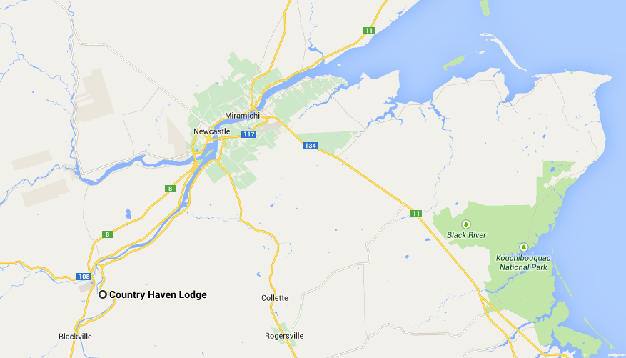 http://www.miramichifish.com/main.html
