Miramichi and Home


On Wednesday the 20th we headed for Port Aux Basque to catch the 11:45 ferry back to North Sydney, NS.  This is a shorter trip than the one we took to get to Newfoundland as it leaves from the the southwestern tip of the island. On Thursday we drove for most of the day to get to the Miramichi River and Country Haven Lodge.

http://www.miramichifish.com/main.html

As always, on arrival at our cabin Janet was quickly able to make new friends..

And, honestly, it was the skunk that made the bathroom smell as it did…

The river was beautiful…

IMG_0636-2-1024x790
 

But no fish were hooked.  15 lb. fish jumped in front of us from time to time, I had several “roll” my fly without being hooked but nothing landed, nothing even hooked.   Thus is my luck as a fisherman and Janet, who did fine in terms of casting, fly placement and everything else, had the same luck.  Another guy who was there when we were caught several over the course of several days but as the guides insist, they can’t guarantee it.  They described a leading fly fishing guide from Alberta who fished for two days with novices catching all around him but for two days he caught nothing,  He decided to stay one more day and then he caught salmon.

Unfortunately, we could not stay.  We headed out on Sunday morning, staying in Maine on Sunday night and in central Pennsylvania Monday.  We arrived in Waxhaw Tuesday evening and are now back at Lake Adger.

As we headed south-east through New Brunswick we noticed that the
trees were starting to show their fall colors

Thanks for following along.

Gros Morne

Tuesday dawned to more rain and gloom.  The forecast suggested that the rain might stop intermittently but not until the afternoon so we were not in a hurry to pack up and head out of our Holiday Inn Express in Deer Lake, NL.  We finally did head out however and after about a 30 minute drive arrived at the gates of the Gros Morne Park where the inside of the Acura’s driver’s door was well soaked during a 20 second conversation with the woman in the park’s gate house.  Another 20 minutes got us deep into the park where we veered south for the part of the park with the “Tablelands” and “Lookout” trails, two options for those who were reluctant to consider a 5-hour hike on a rainy day.  Still not feeling much enthusiasm, we figured we’d scout things out by driving through the park area and into the coastal fishing village of Trout River and maybe think about lunch.  When we arrived we found the Seaside Restaurant, which Janet had scouted out and determined to be a decent spot for lunch.

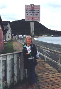
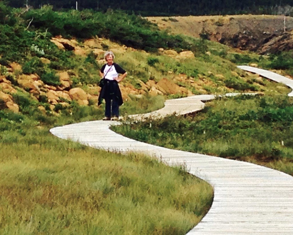
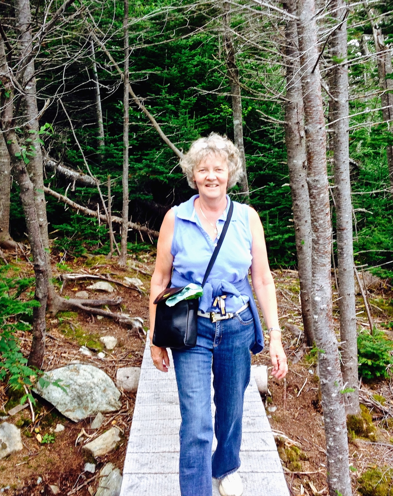
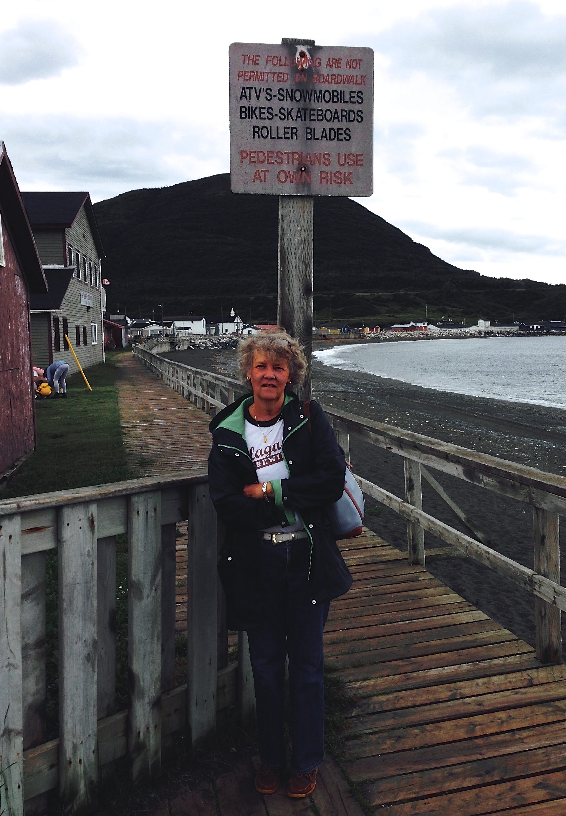
The boardwalk in Trout River, NL
IMG_05441

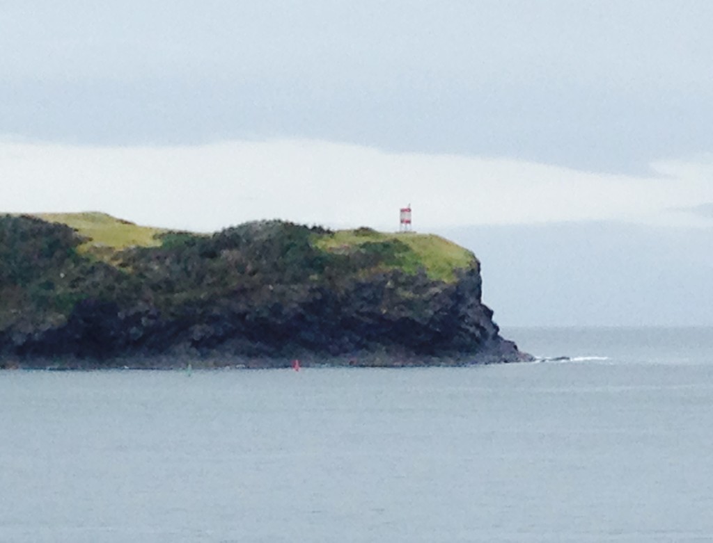
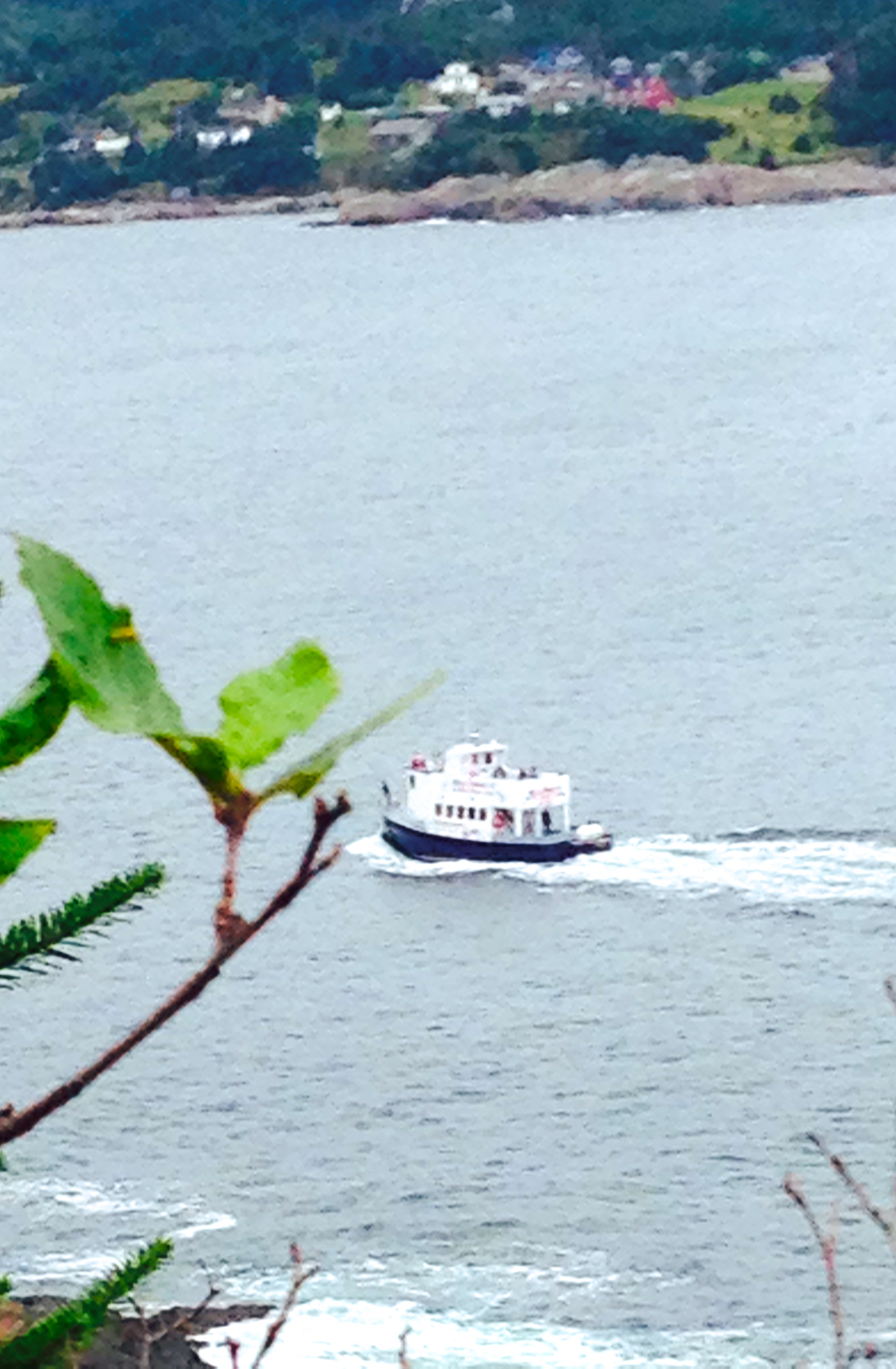
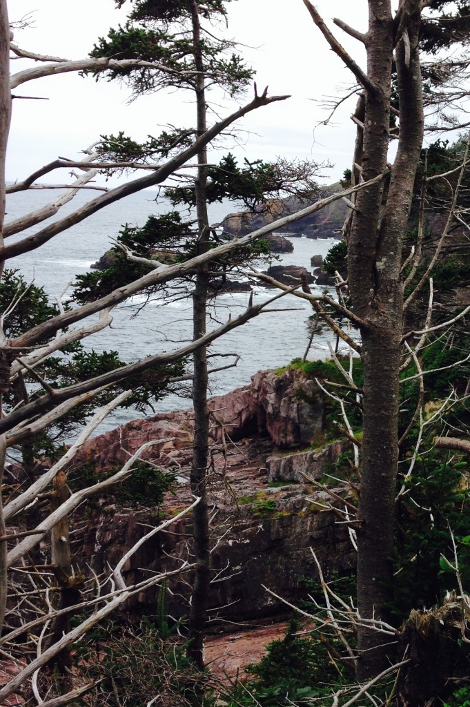
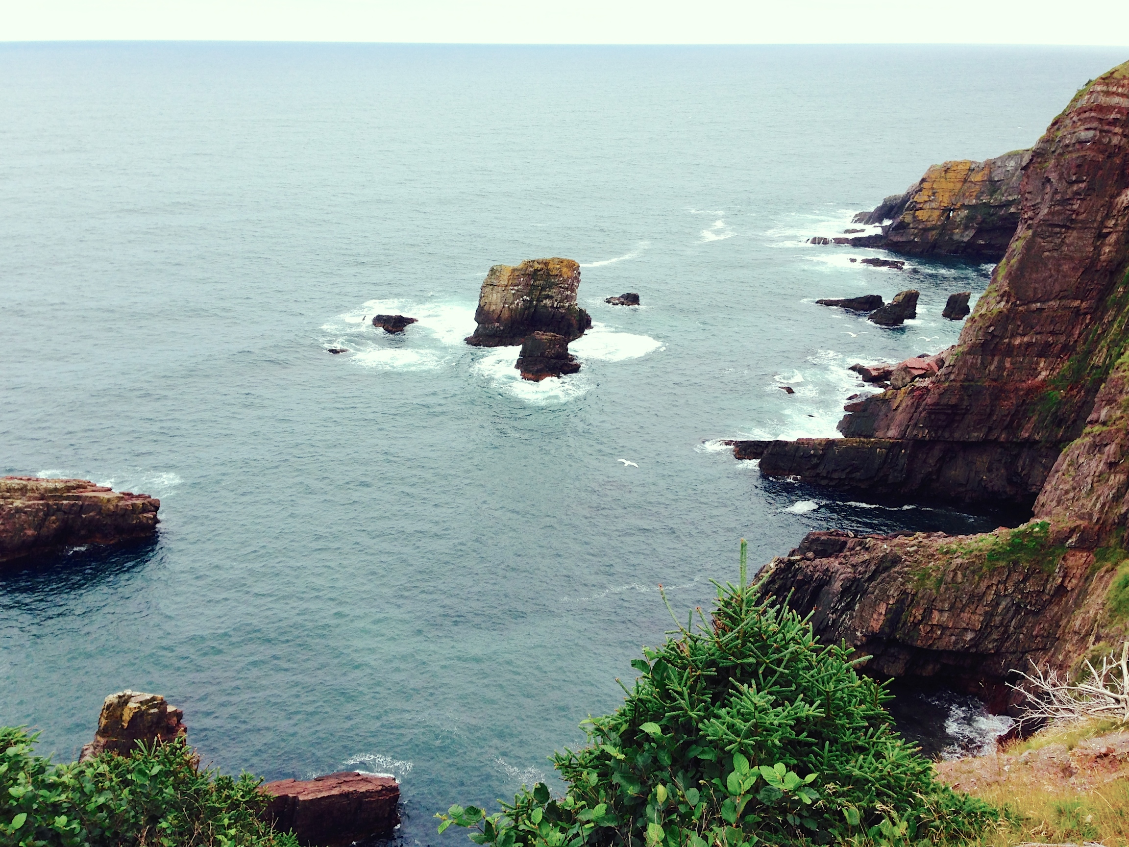
We were seated at a window with a good view out the bay, there to look upon the rain and gloom.  However, much to our surprise, the view got better and better.  The gloom lessened and eventually the sun made an appearance.

The View from the restaurant window at our
seaside lunch as the weather clears

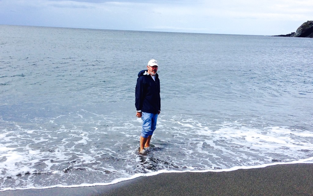
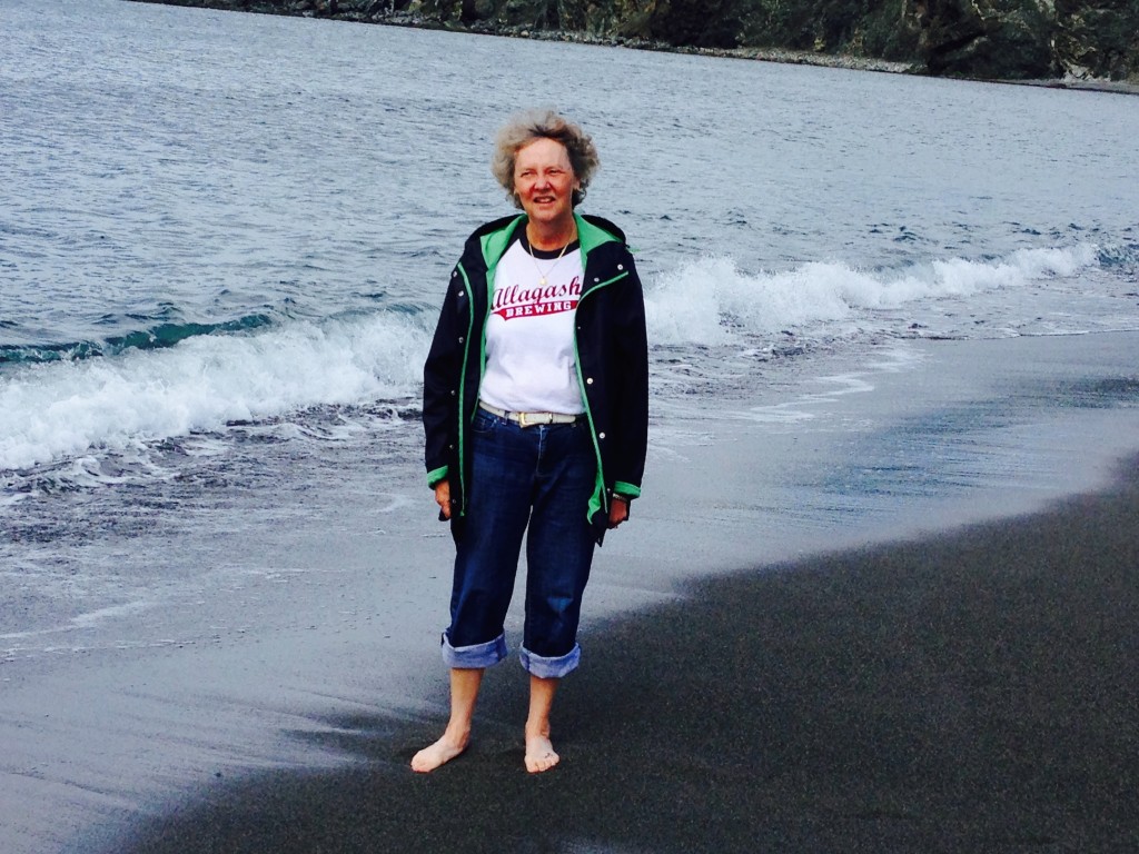
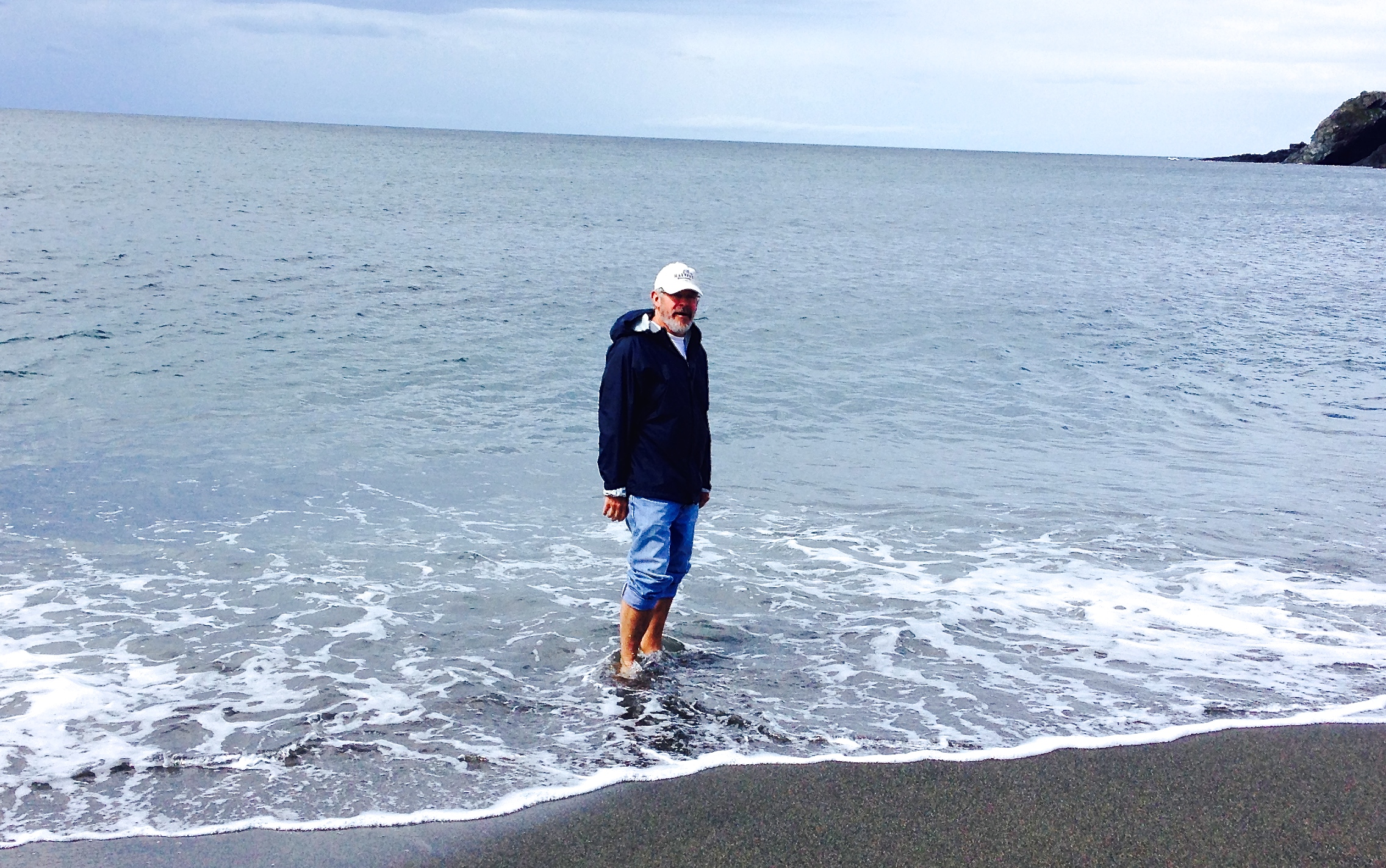
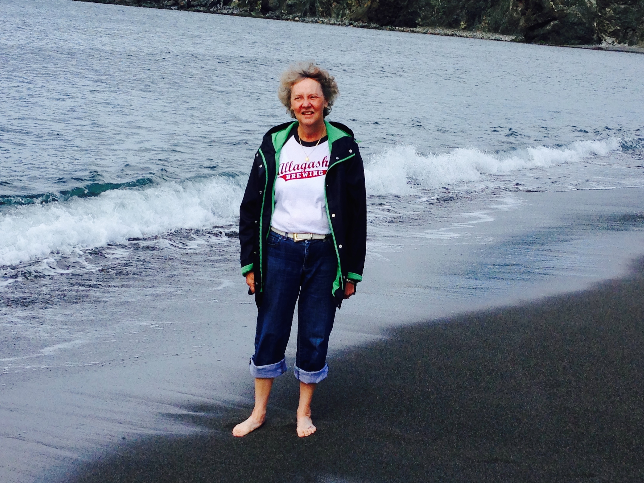
Yes, we went into the cold North Atlantic, sort of

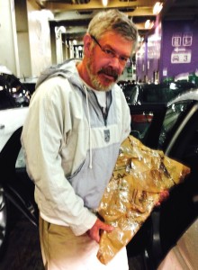
Heading out of town we saw a hand written sign offering salt-cod at a fishing shed.  Going in and enquiring if the cod would be OK through the week+ remaining on our trip the fisherman assured me that it would be just fine for 2 years at least!  After wrapping it in cardboard of questionable cleanliness and a good discussion on the state of the cod fisheries we were on our way.

Holding the salt cod purchased in Trout River (picture taken on the ferry the next day)

IMG_0625-750x1024

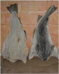
Below is what this looked like before wrapping (from http://en.wikipedia.org/wiki/Dried_and_salted_cod where you can learn more than you ever wanted to know about salt cod.  Some of you may see this again some day in a bowl, so pay attention!)

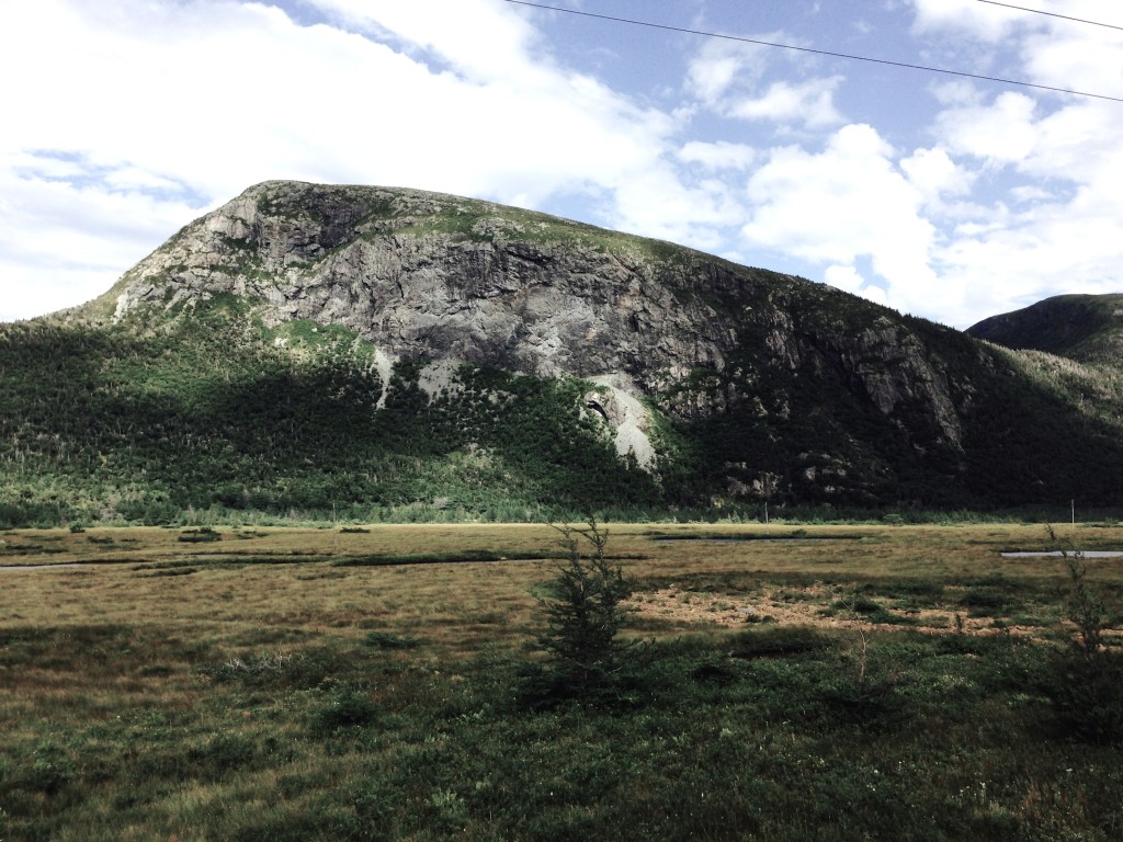
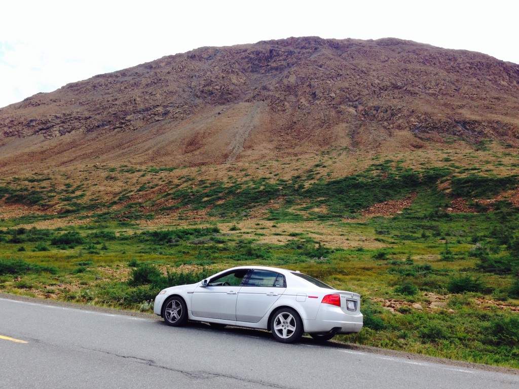
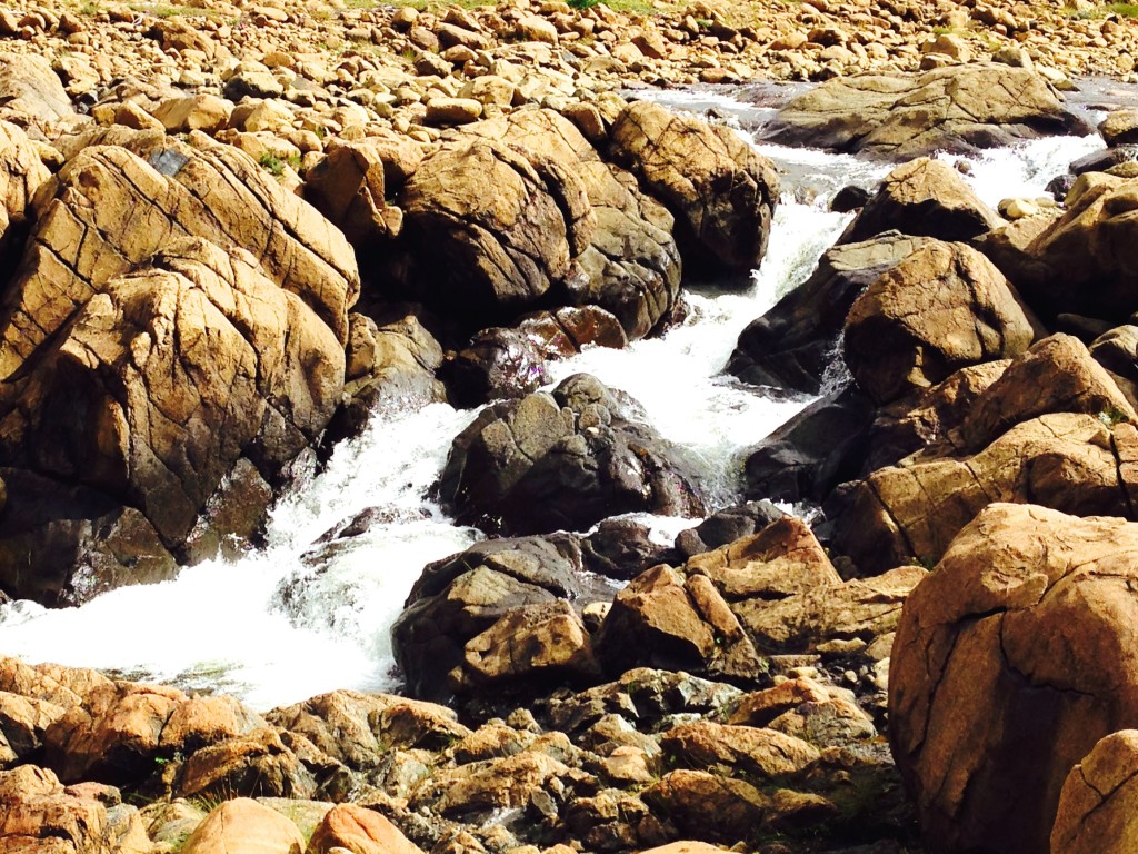
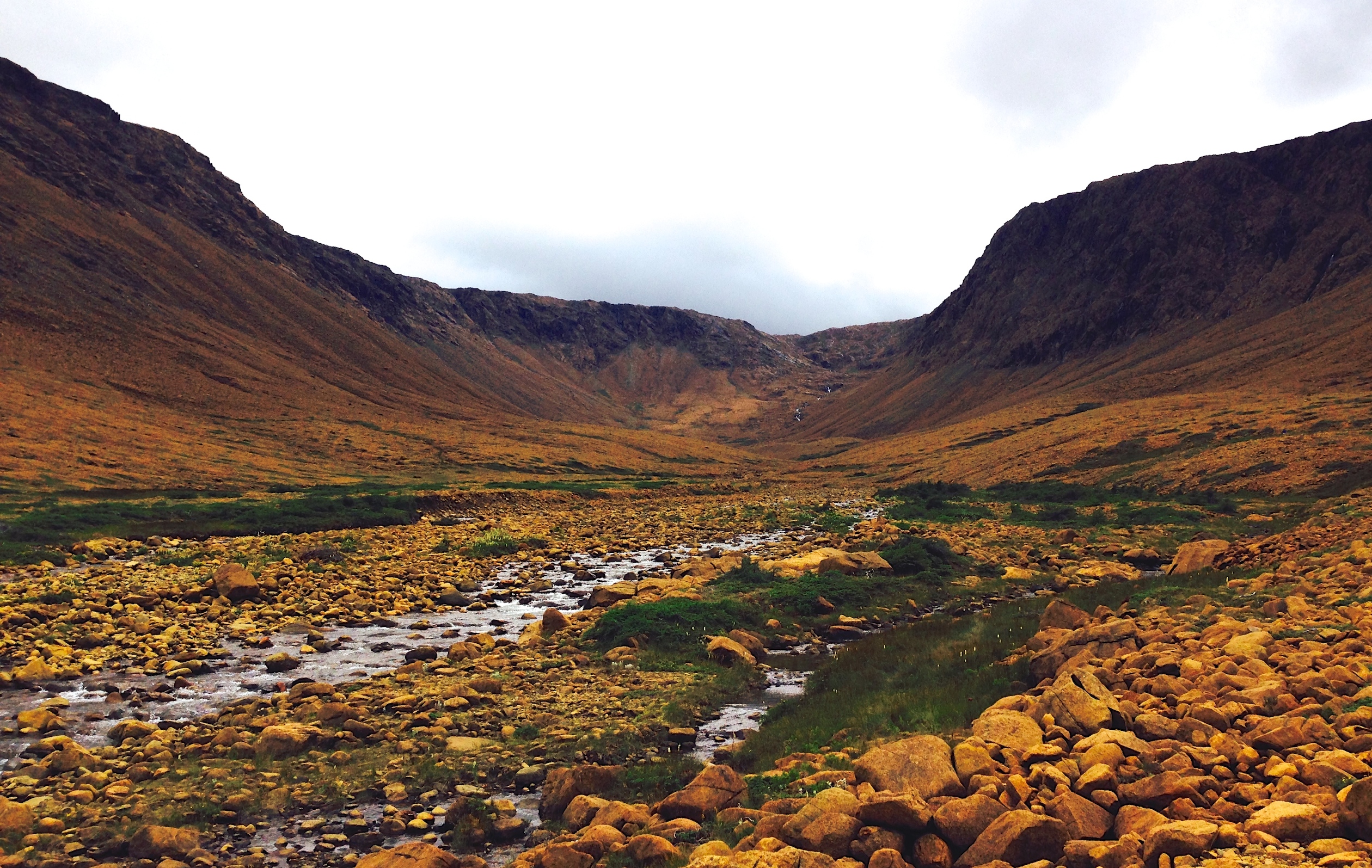
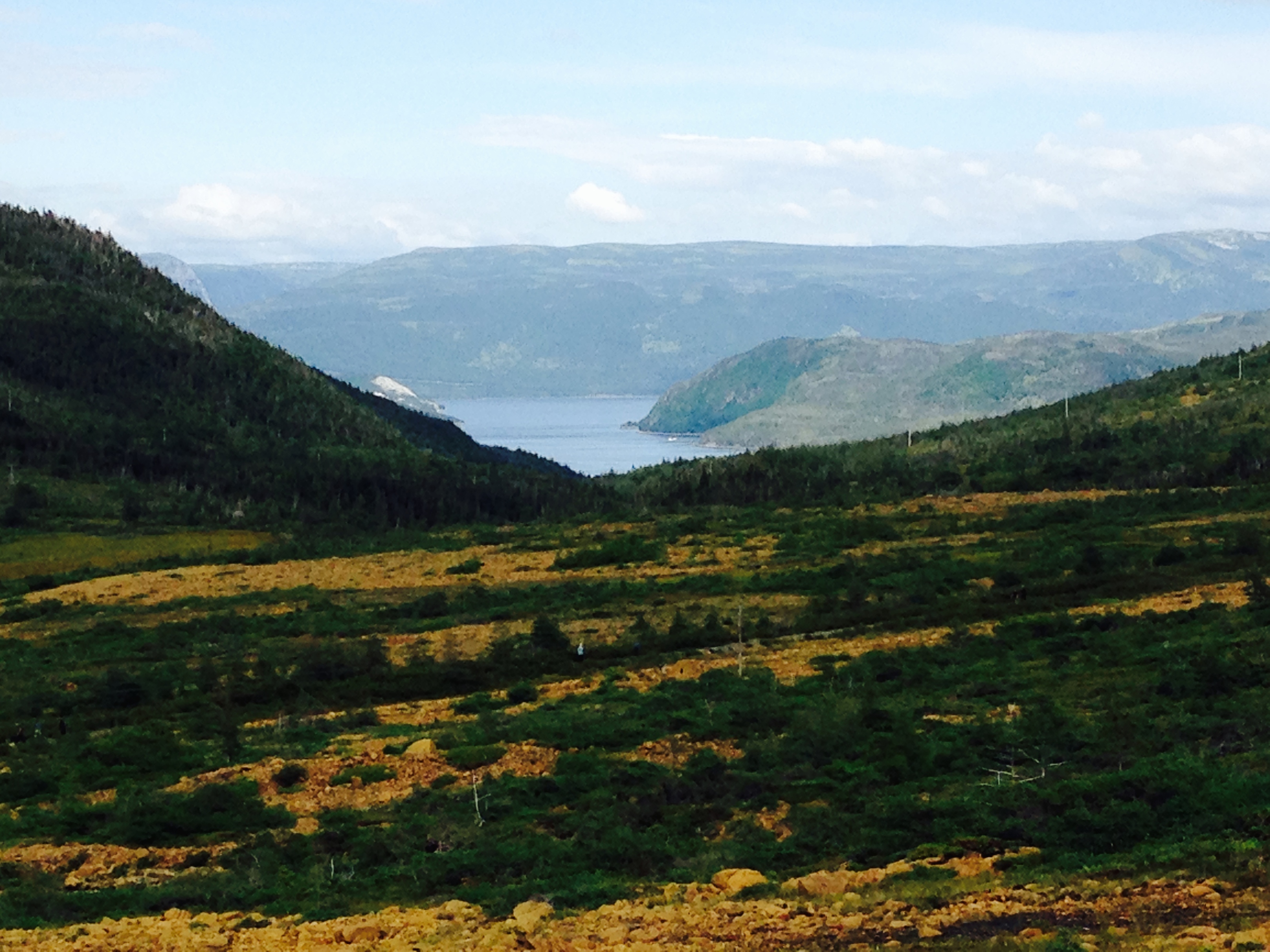
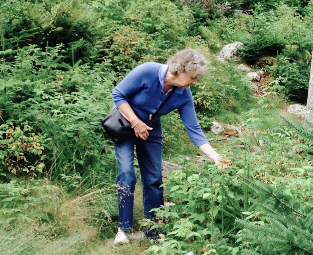
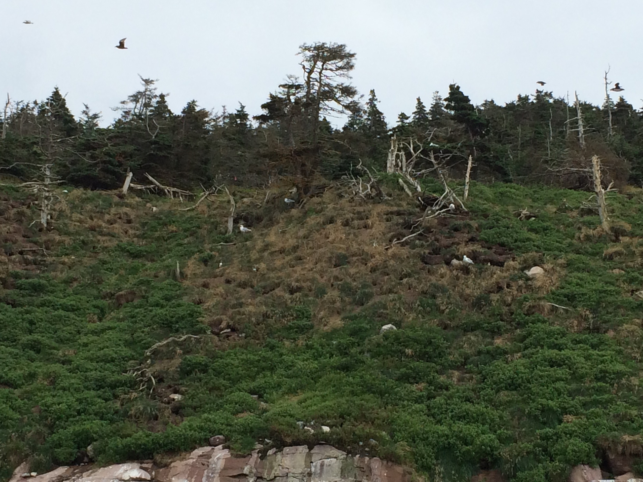
Driving to our first hike the contrast was stark between the hills on our left (above) and the Tablelands to our right (below).

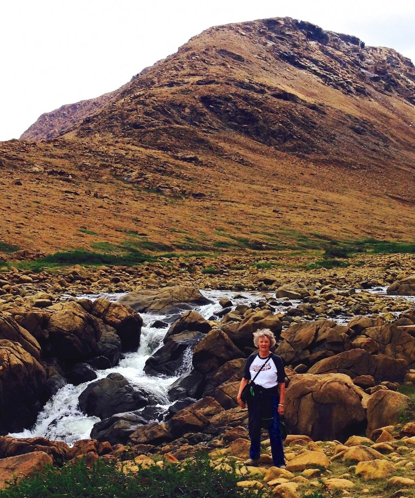
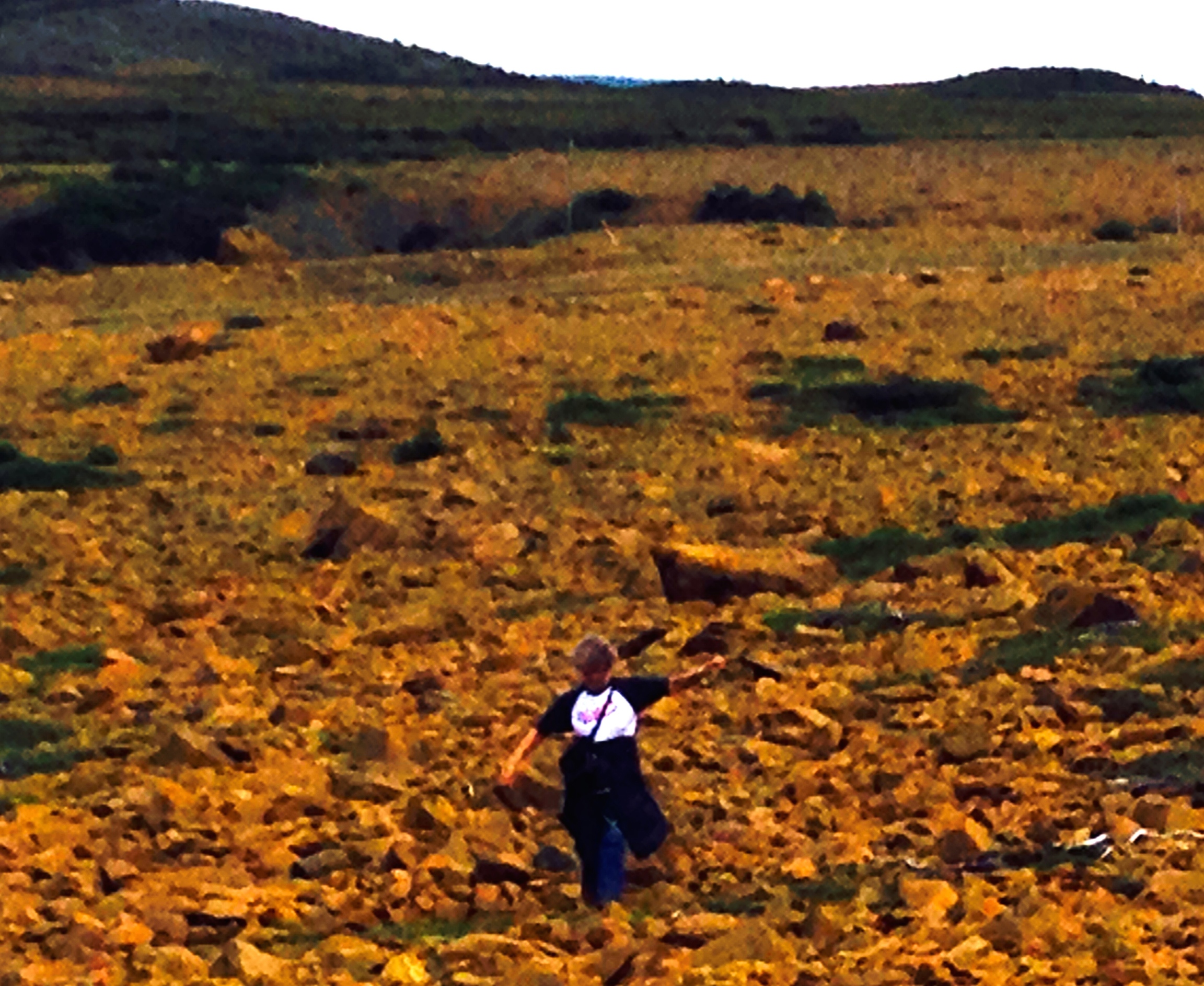
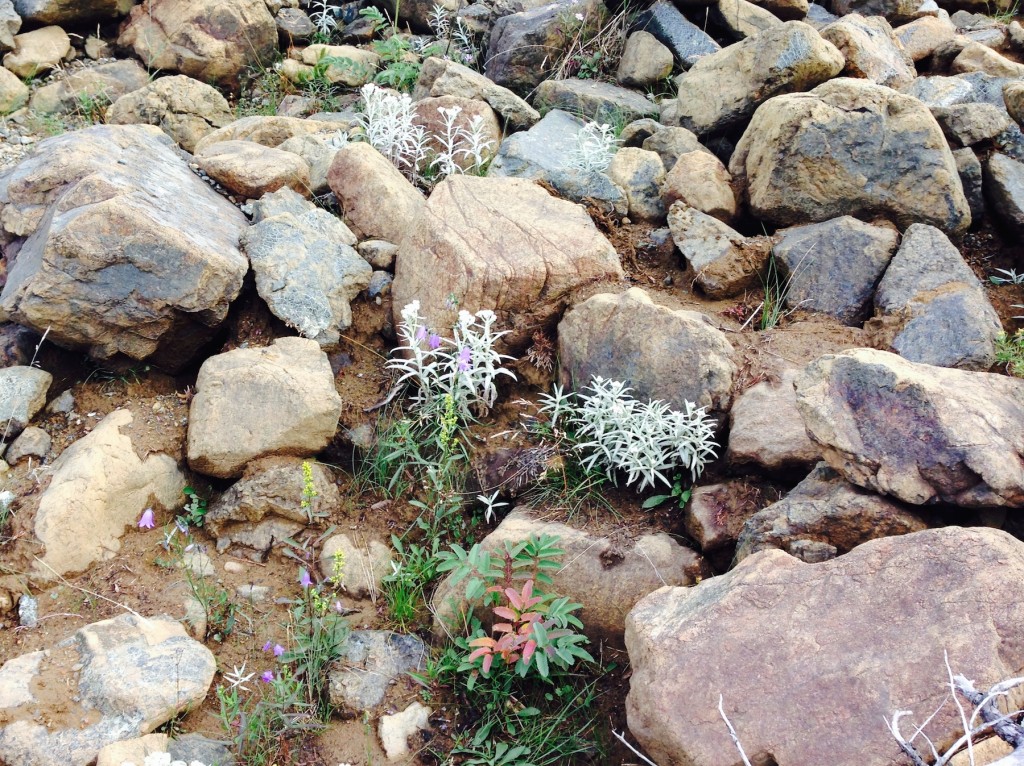
The Tablelands hike was a walk of about 4 km out and back.  These hills were formed by the Atlantic plate moving east from the mid-Atlantic rift and squeezing the ocean floor up above sea level.  They call it mantle-rock as it is deep rock without sedimentation.  The rock has a small iron content giving it a slightly orange coloration.

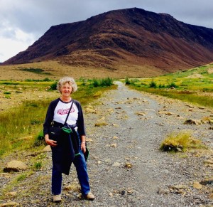
Walking into the Tablelands
 IMG_0562-1024x757
IMG_0565-1024x992

IMG_0569-854x1024


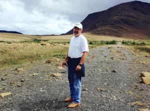
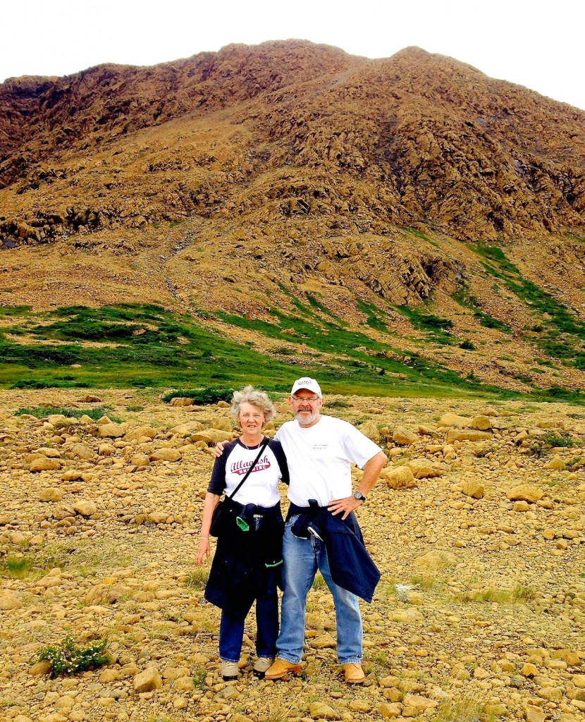
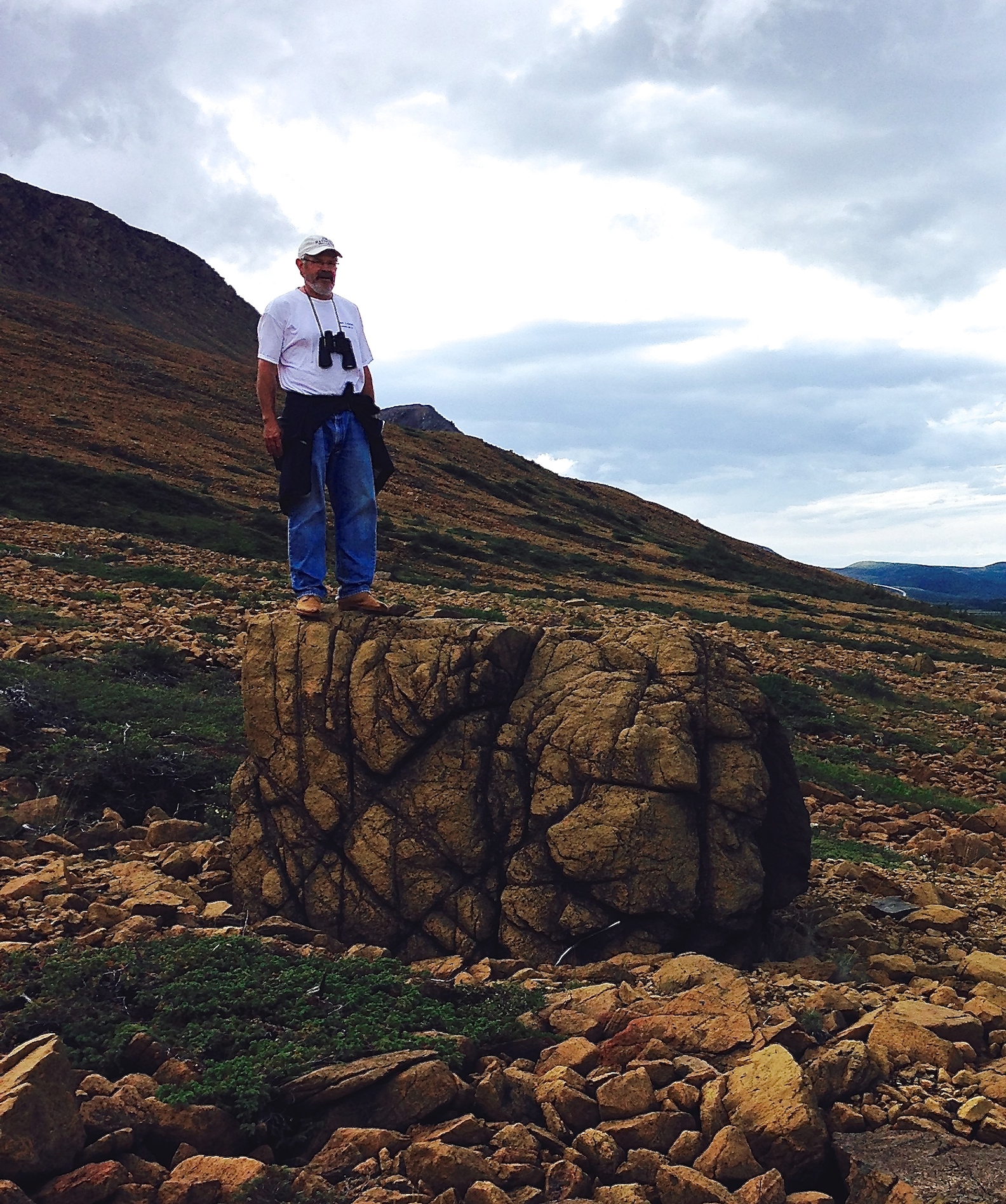
Janet wanted Cyrus and Nate to see this picture of us standing on the ocean floor

IMG_0580-830x1024

  IMG_0600-1024x766


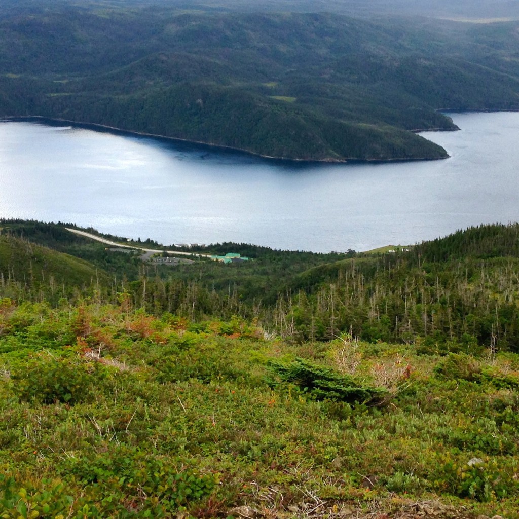
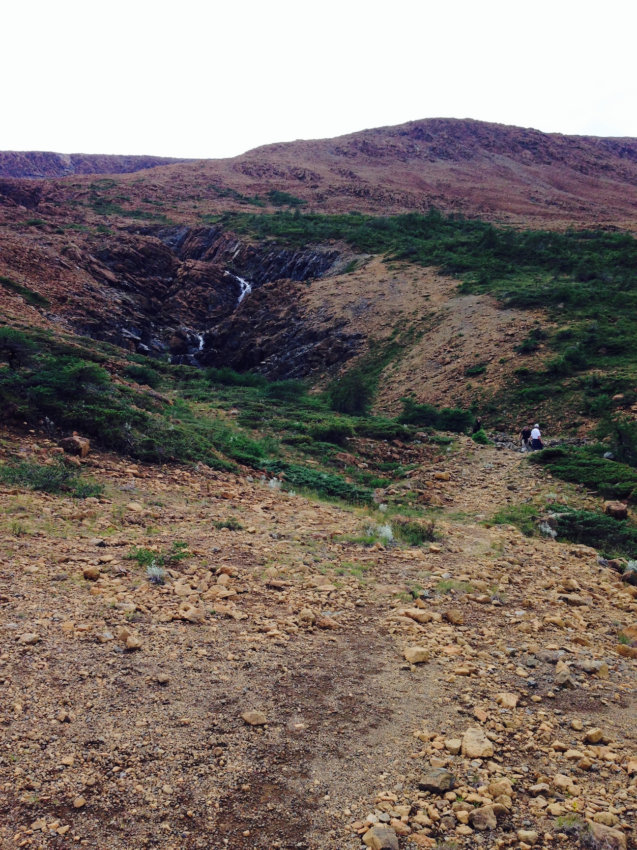
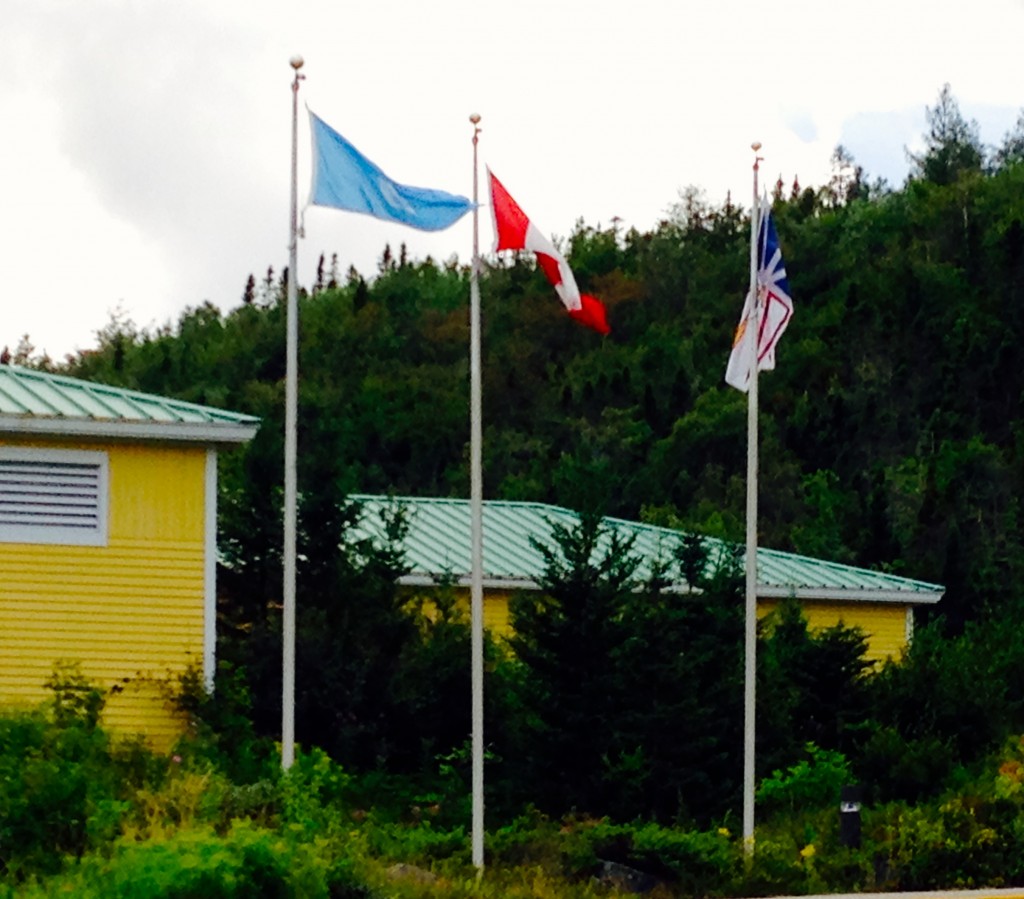
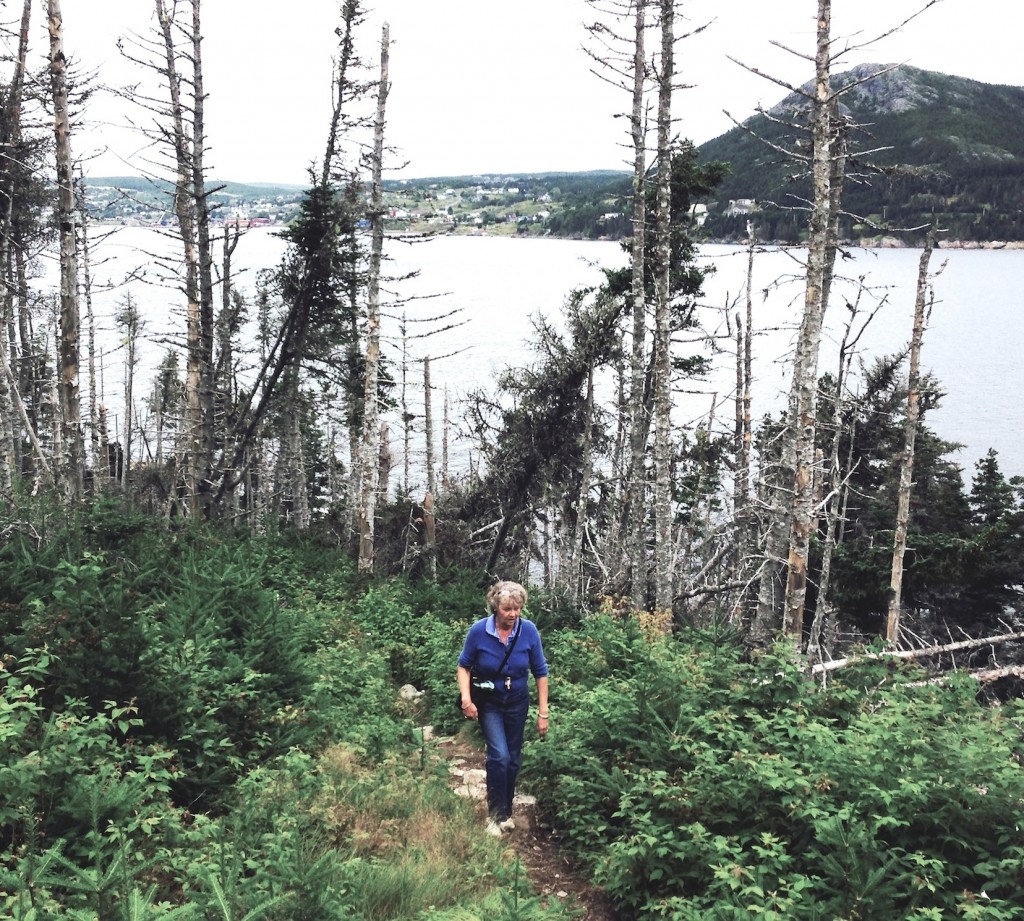
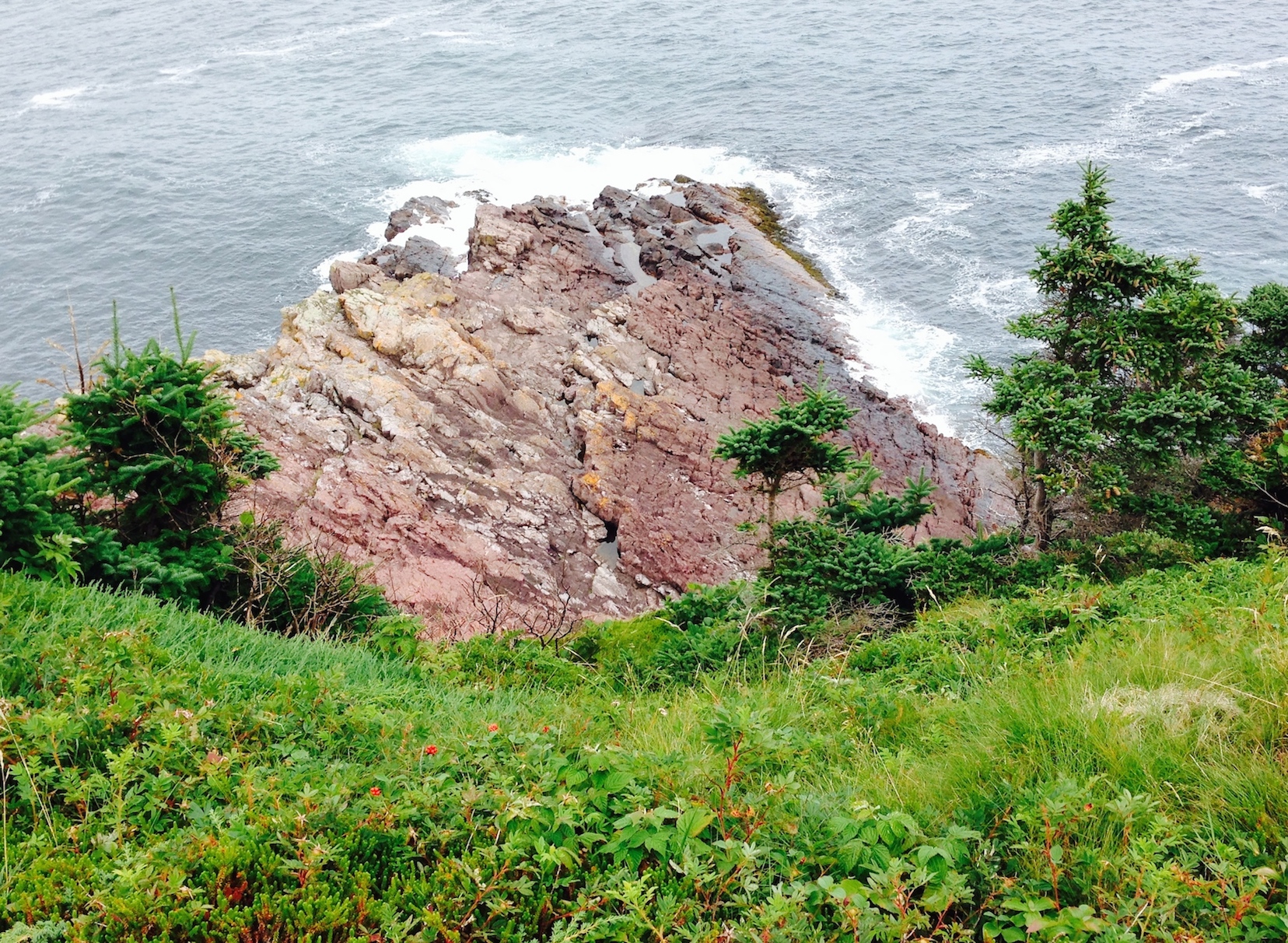
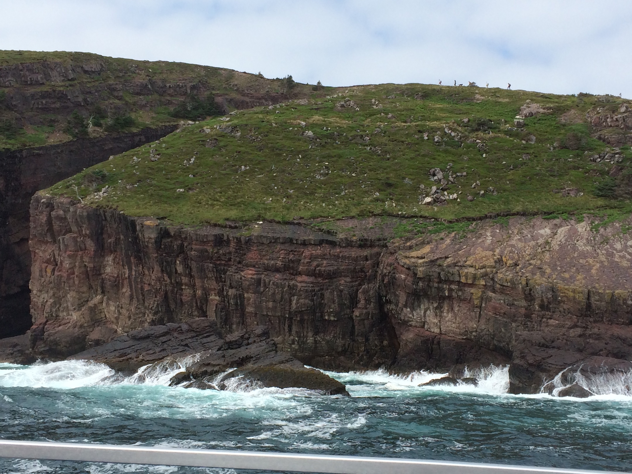
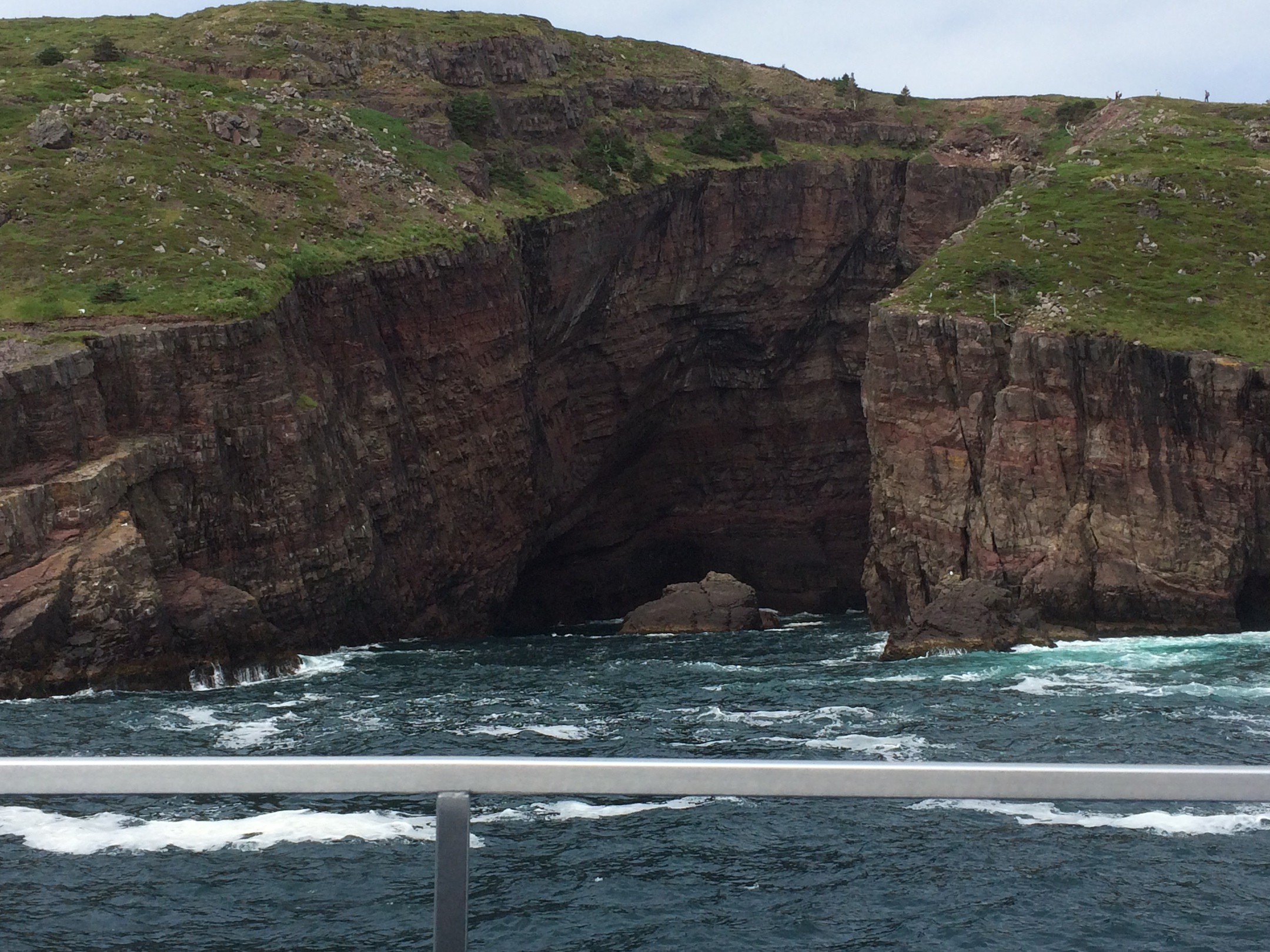
Our weather-luck still looking good, we dove a couple miles to the “Discovery Centre” which was the trailhead for the Lookout Trail.  The UN flag here reflects the status of the park as a UNESCO World Heritage Site.  The hike was a steep climb from perhaps 150 up to about 1200 feet above sea level. The return distance was 5 km.

IMG_0609-1024x899

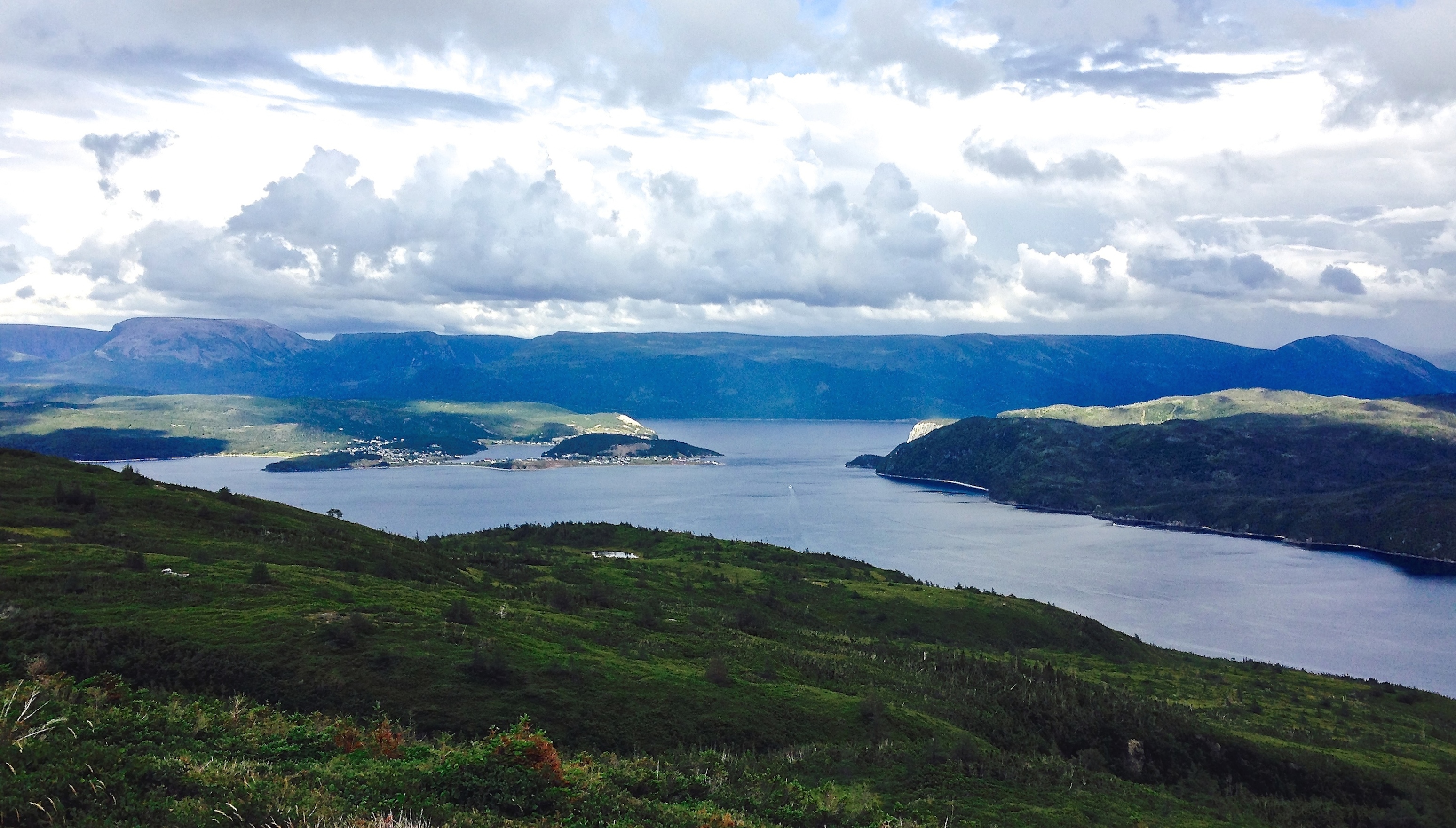
We were truly delighted to arrive at the top, mainly because we hadn’t died walking up that steep of a hill as quickly as we did.  Below we look down toward the Discovery Centre and the start-point for our climb.

Another direction…

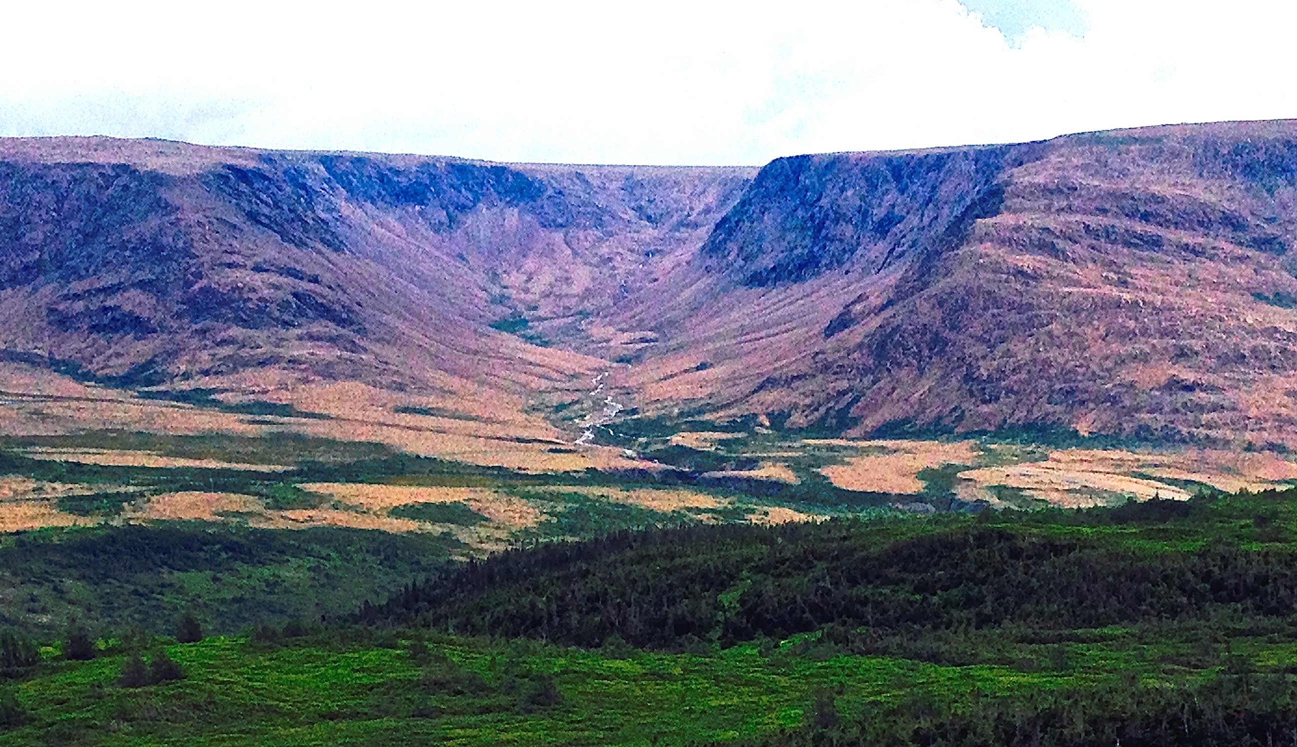
Back toward the Tablelands and our earlier hiking trail…

IMG_0617-1024x771

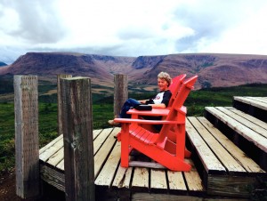
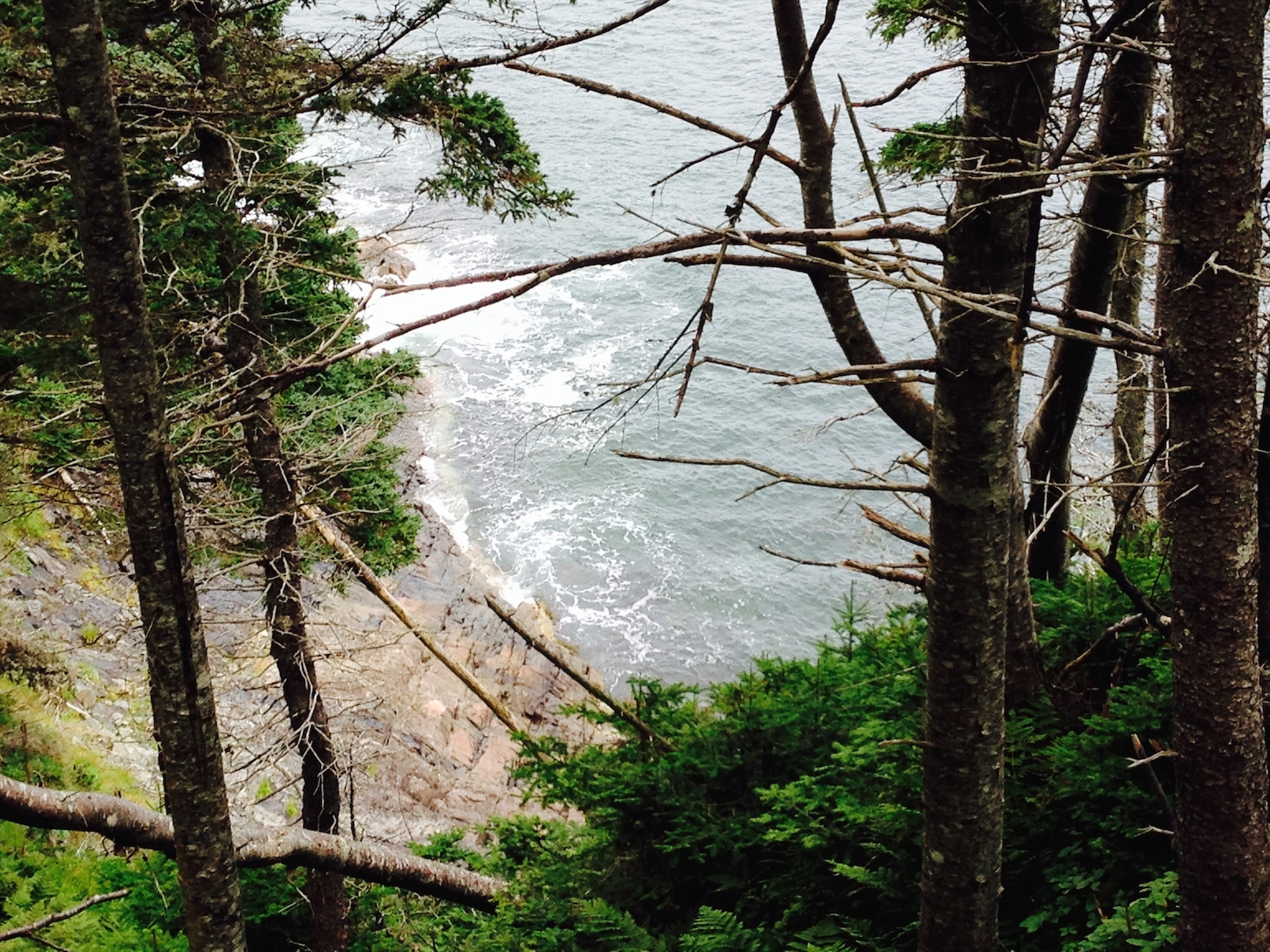
As we rested at the look-out we faced east where we watched the rain coming back…IMG_0619-1024x760

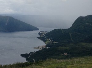
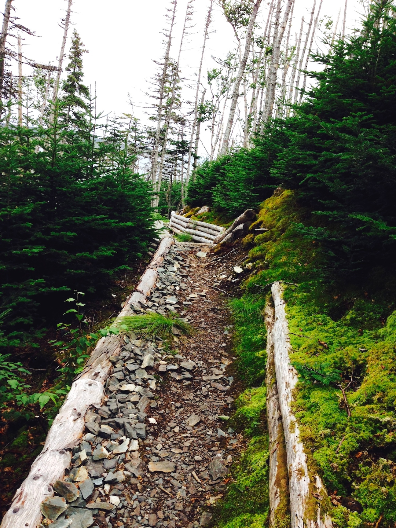
Time to head back down the trail

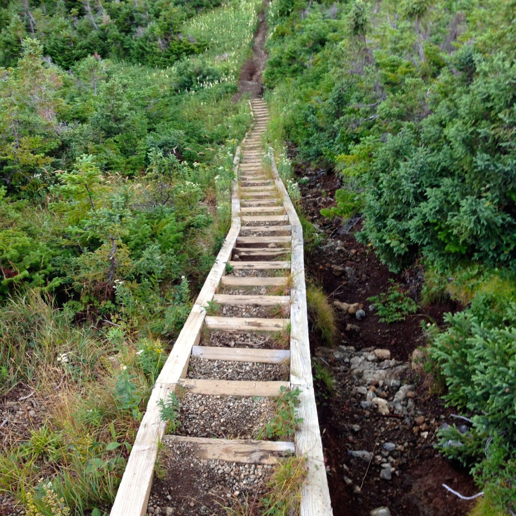
The walk down was considerably easier than the walk up, even though we had some fairly heavy rain for the first half of our descent.  The Discovery Centre was closed by the time we got back to the bottom so we changed out of wet jeans in the car, then headed for our B&B in St. George, NL, within easy striking distance to the Port Aux Basque ferry back to the mainland.

Trails:  http://www.pc.gc.ca/eng/pn-np/nl/grosmorne/activ/randonnee-hiking.aspx.
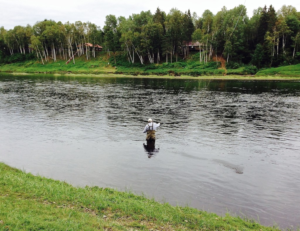
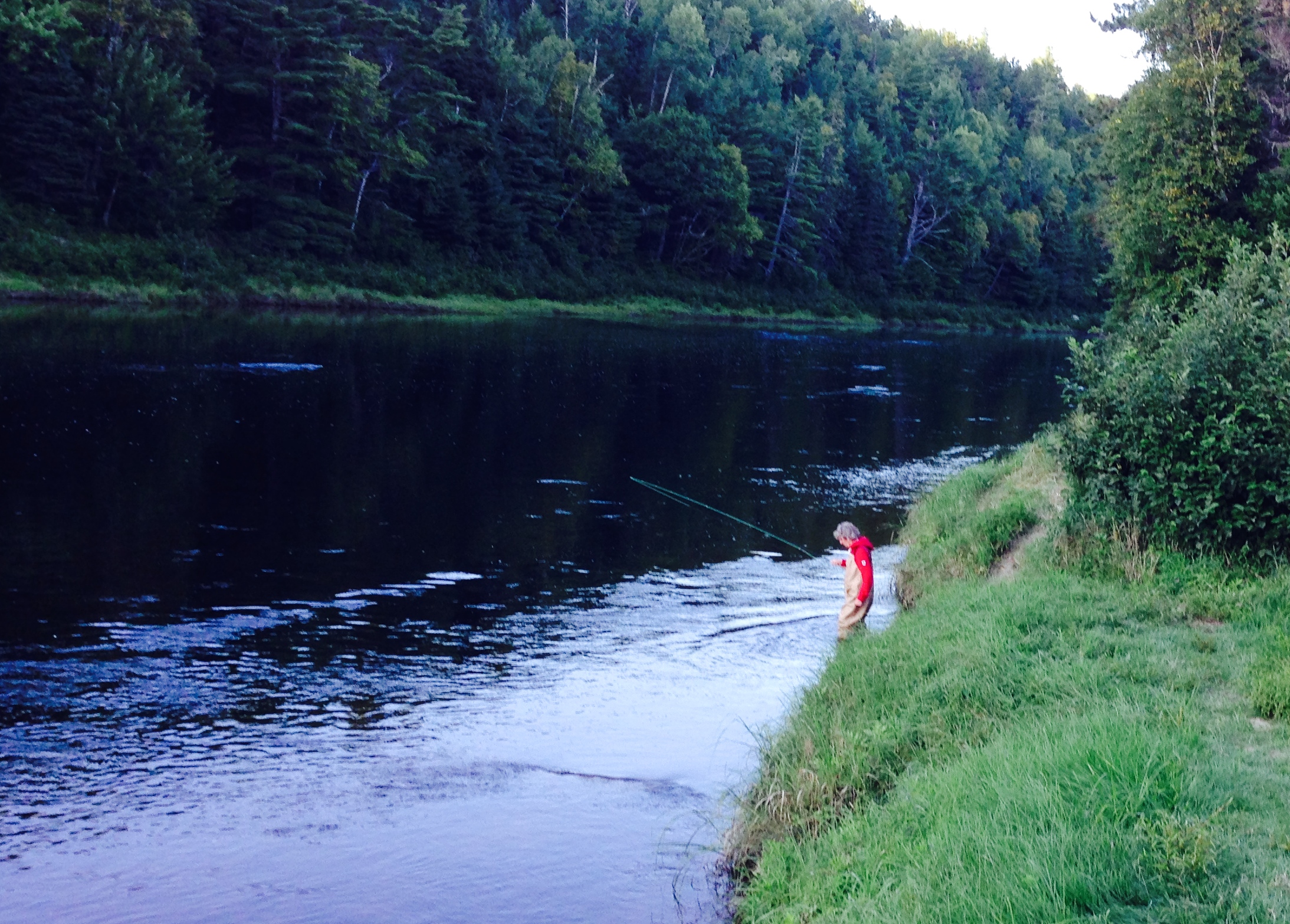
Driving Day

When in Halifax Chris’s dad recommended that we see Gros Morne Park on our way across the island so we decided to head out a day early (Monday instead of Tuesday) and take most of Tuesday at the park.  We left St. John’s at about 9:00 this morning in a dreary, sometimes heavy rain, but the drive was made a little less dreary:  as we turned on the XM we found ourselves yet again listening to a replay of game 7 or the 2006 Stanley Cup finals, late in the first period.  So for at least the first couple of hours we had that to listen to.  No much suspense but never boring!

More rain forecasted for tomorrow, which could be disappointing, but our weather luck has been pretty good so we can’t really complain…

.

Take a Hike

On Sunday afternoon we hiked around the headland between Bay Bulls and Whitless Bay, largely walking along the nearest shore to the route of Saturday’s boat trip.  This route is referred to as the Mickeleens Path and is part of the East Coast Trail (more details at http://eastcoasttrail.ca/trail/view.php?id=6).  The trail is a bit rough but is maintained with boardwalks across swampy areas, a couple little bridges, etc. so not really difficult.  As we saw in the previous post, there is some pretty spectacular rock-scapes along the shore and in this post you will see several of these and more from the shore-side.

The little map below showed up on our photo software (iPhoto) and is useful for mapping
our hike since it shows the spots where we took pictures (most of the way around).
(See link above for the coordinates for the trail heads at either end if interested)

We encountered raspberries and blueberries on the trail

IMG_0481-1024x834

On the trail with Bay Bulls behind us

IMG_0484-1024x921

 The trail is reasonably well maintained


Climbing higher


…and higher
IMG_0493-1024x681

One of the boats from the tour group we used the day before, heading back to Bay Bulls

climbing…


 This water fall looked very cool from the boat the day before.  As we crossed the source stream we though this might be it and confirmed it from this angle a few minutes later.

IMG_0509-1024x836
       

IMG_0512-681x1024

IMG_0511-1024x853  

We have rounded the end of Bay Bulls Bay now and are walking along open ocean.
The rock formations continue to be very impressive

IMG_0515-1024x669  

Janet wants these ferns at the lakehouse  –
With the wind coming in from the east, this stretch of the hike was more open, less wooded 
 IMG_0517-1024x586
Some of these shots may be familiar from the prior day’s boat-based pictures
 The island in the background is one of the bird sanctuary islands from the day before
 
Heading in along Whitless Bay where our car awaits us
Some of the rock formations shown above were really quite spectacular and frankly the stills do not really give a sense for it.  We have a 15 second video that gives a better feel for it and will send that to our kids and a few others who have expressed interest in following this trip (this lame blog site allows video postings as long as they are less than two MB!)  Anyone else, let us know if you’d like to see it.

Boat Ride Off Bay Bulls

Saturday we drove down to Bay Bulls to catch a tour boat to see puffins, other sea birds and, if lucky, whales.  Bay Bulls is the little town where I stayed for 6 weeks or so back in 1972.  For some reason there was no sign of the old wooden house where we stayed, perhaps because it had no electricity, running water or central heating.  It was hard to even tell where the old house had been with a nicely paved road extending far beyond where the old muffler-busting gravel road petered out in the old days, just beyond the old house.  All in all the town is entirely different than the impoverished fishing village I remembered, which is a good thing.

We have a fair number of pictures but we were not sure how many puffins and sea gulls you wanted to see so we present only a few of them here.

The trip out was nice once I convinced myself I wouldn’t be sea-sick.  Below are several pictures of the outer-bay and around to the open-ocean shore.  Later today we will head out for a 4+ mile walk around from Bay Bulls to Witless Bay (the next bay to the north) so you’ll get more picks of Bay Bulls and the sea around there.

Then the boat headed out to the larger of several islands that are designated by the Canadian government as a bird sanctuary (“Witless Bay Ecological Reserve”).

So this is a puffin.  Not sure what all the excitement is about, except maybe they make for cute pictures, toys and stuffed animals.  They mate for life but live apart most of the year and only have 18 seconds of sex per year and that’s underwater.  The tour guide says they are a member of a class of birds called PPF – piss poor flyers but he’s a Newfie and admitted that some of this information might not be scientifically reliable.  Poor swimmers the puffin might be but using their aerodynamically-challenged wings they can dive down to 100 feet to catch a sadly small fish.

Government scientists at work in a bird blind…
Why does this picture remind me of Monty Python?

More on this bird sanctuary with a decent puffin picture:
http://www.env.gov.nl.ca/env/parks/wer/r_wbe/

You-tube video – this is likely taken from the same tour boat:
https://www.youtube.com/watch?v=uAN-oyqY0QE

The tour guides were very happy to find a couple whales so late in the season since by mid-August the whales usually come to the realization that the water is much warmer in the Caribbean.  Of course the tour company did not emphasize the scarcity of whales prior to our signing up but there were still a few left and we found two of them.  They didn’t dance around much for us so not a lot of pictures but this was pretty well the best of the lot.

IMG_0367-1024x634

Keeping in the spirit of the sea we found a small restaurant with fish chowder and cod tongues.  (Greg, you wanted more food pics so this is for you).  Janet felt sort of bad that these cod could no longer talk with each other but the tongues were pretty tasty…