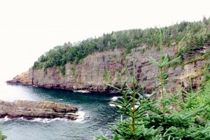
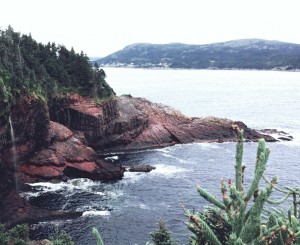
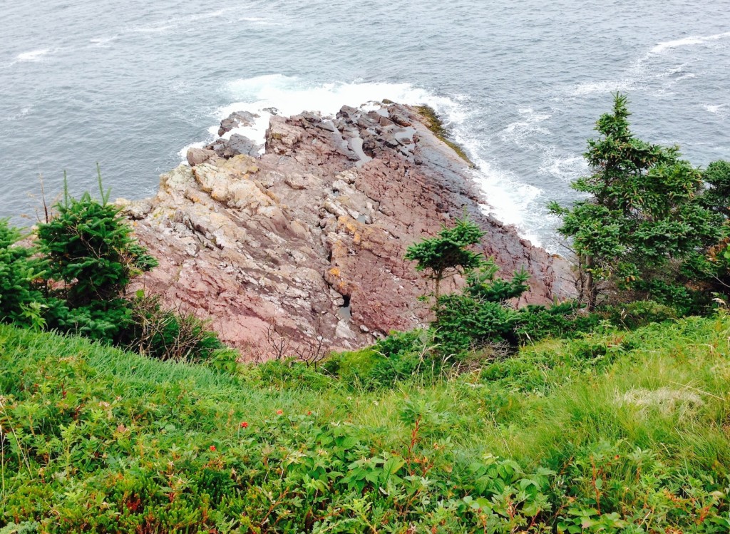
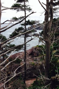
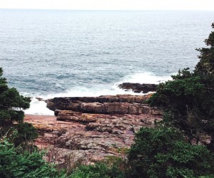
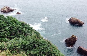
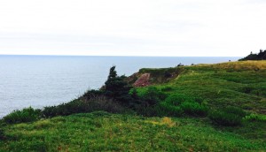
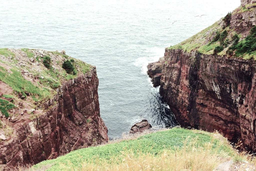
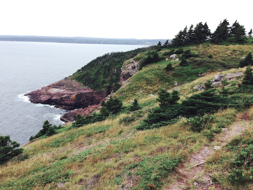
On Sunday afternoon we hiked around the headland between Bay Bulls and Whitless Bay, largely walking along the nearest shore to the route of Saturday’s boat trip. This route is referred to as the Mickeleens Path and is part of the East Coast Trail (more details at http://eastcoasttrail.ca/trail/view.php?id=6). The trail is a bit rough but is maintained with boardwalks across swampy areas, a couple little bridges, etc. so not really difficult. As we saw in the previous post, there is some pretty spectacular rock-scapes along the shore and in this post you will see several of these and more from the shore-side.
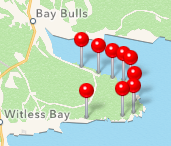
The little map below showed up on our photo software (iPhoto) and is useful for mapping
our hike since it shows the spots where we took pictures (most of the way around).
(See link above for the coordinates for the trail heads at either end if interested)
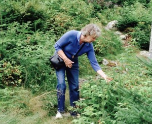
We encountered raspberries and blueberries on the trail
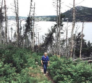
On the trail with Bay Bulls behind us
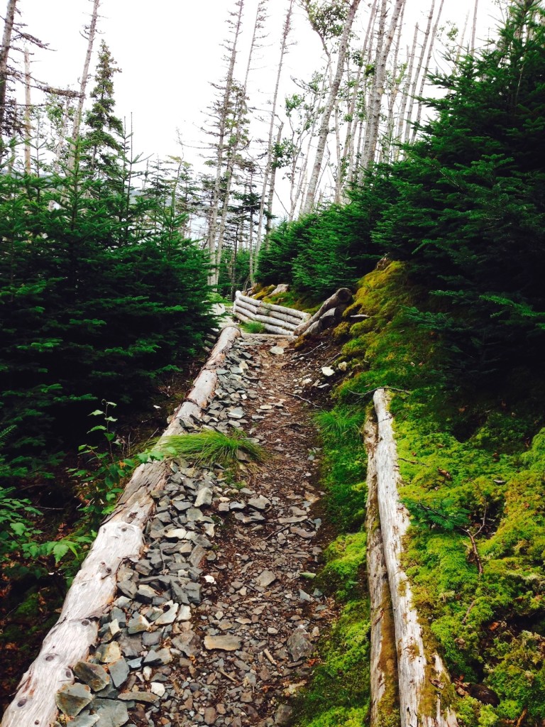
The trail is reasonably well maintained
Climbing higher
One of the boats from the tour group we used the day before, heading back to Bay Bulls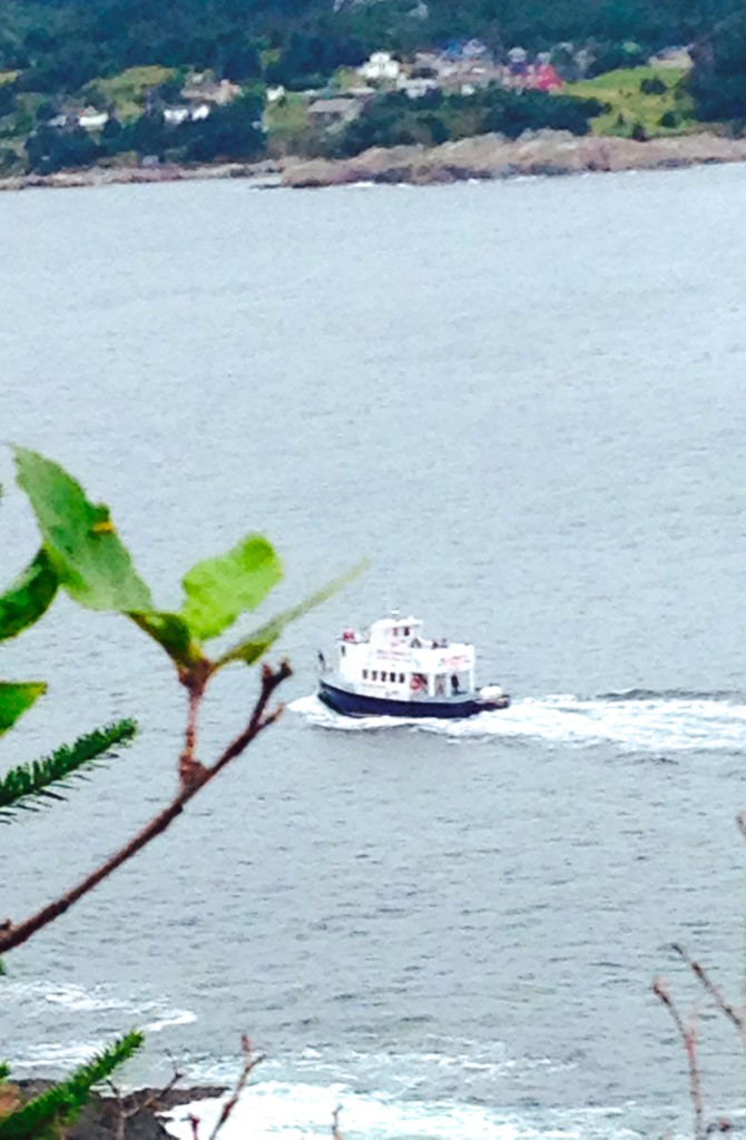
This water fall looked very cool from the boat the day before. As we crossed the source stream we though this might be it and confirmed it from this angle a few minutes later.
We have rounded the end of Bay Bulls Bay now and are walking along open ocean.
The rock formations continue to be very impressive
